 |
1 Energy & Wetlands Research Group, Centre for Ecological Sciences, 2 Centre for Sustainable Technologies (astra), 3 Centre for infrastructure, Sustainable Transportation and Urban Planning [CiSTUP] Indian Institute of Science, Bangalore – 560 012, India E-mail: cestvr@ces.iisc.ac.in |
STUDY AREA
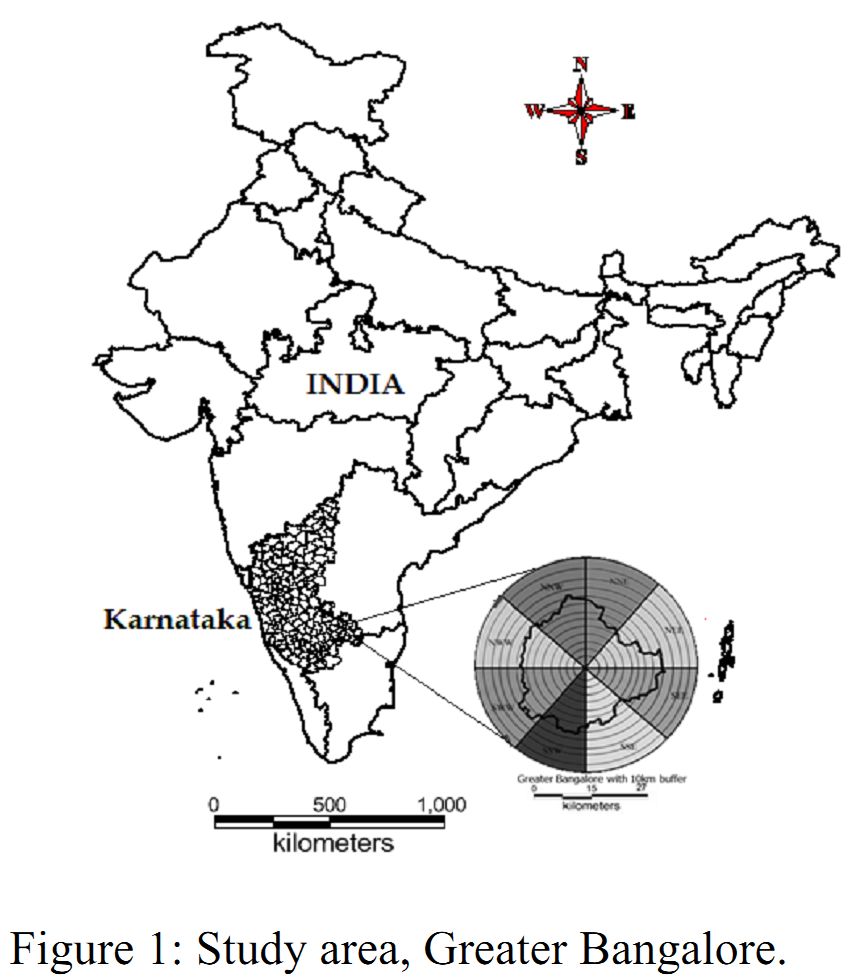
Figure 1: Study area, Greater Bangalore.
Bangalore is the administrative capital of Karnataka State, also known as the Garden City of India, is located in the Deccan Plateau to the south-eastern part of Karnataka, with an area of 741 sq. km and 949 m above sea levelhaving more than 9 million people. It lies between the latitudes 12°39’00’’ to 13°13’00’’N and longitude 77°22’00’’ to 77°52’00’’E. The present study includes a 10km circular buffer from the Bangalore administrative boundary by considering the centroid as City Business District (CBD). Bangalore has grown spatially more than ten times (741 sq. km) since 1949 (69 sq. km.) (Ramachandra and Kumar, 2008).
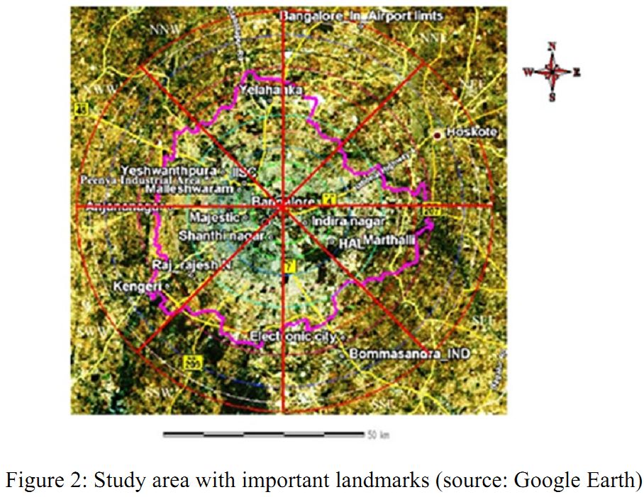
Figure 2: Study area with important landmarks (source: Google Earth)
| * Corresponding Author : | |||
| Dr. T.V. Ramachandra Energy & Wetlands Research Group, Centre for Ecological Sciences, Indian Institute of Science, Bangalore – 560 012, INDIA. Tel : 91-80-23600985 / 22932506 / 22933099, Fax : 91-80-23601428 / 23600085 / 23600683 [CES-TVR] E-mail : cestvr@ces.iisc.ac.in, energy@ces.iisc.ac.in, Web : http://wgbis.ces.iisc.ac.in/energy |
|||