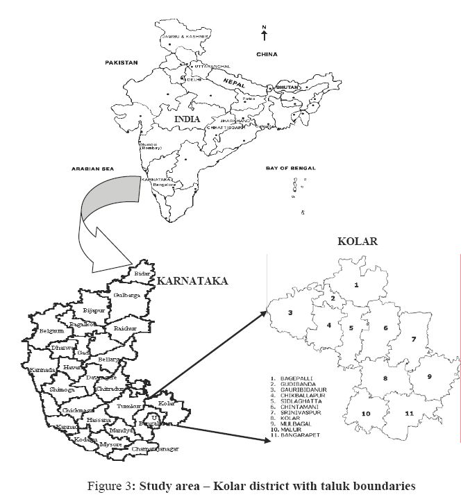
Study Area |
GRDSS is tested using the data for the Kolar district, Karnataka State, India for land use analyses. Kolar is located in the southern plain regions (semi arid agro-climatic zone) extending over an area of 8238.47 sq. km. between 77°21' to 78°35' E longitude and 12°46' to 13°58' N latitude. It is divided into 11 taluks for administrative purposes as Bagepalli, Bangarapet, Chikballapur, Chintamani, Gauribidanur, Gudibanda, Kolar, Malur, Mulbagal, Sidlaghatta, and Srinivaspaura. The distribution of rainfall is during southwest and northeast monsoon seasons. The average population density of the district is about 2.09 persons/hectare.