Materials and Methods |
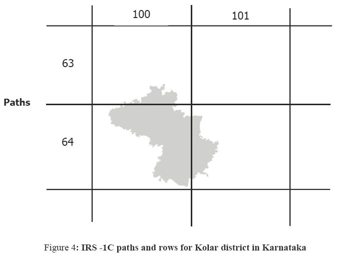
The data collection was done from both primary and secondary sources. The main sources of primary data (for image analyses, training data) were from the field (using GPS), the Survey of India (SOI) toposheets of 1:50,000 scale and the multispectral sensors (MSS) data of the Indian Remote sensing satellite (IRS 1C). The secondary data were collected from the government agencies (Directorate of census operations, agriculture department, forest department, and horticulture department). LISS- III MSS data devoid of radiometric errors corresponding to the district as given in the figure 4, for the paths-rows (100, 63), (100, 64) and (101, 64) was procured from the National Remote Sensing Agency (http://www.nrsa.gov.in).
The IRS-1C rectified (geo corrected) scenes for Kolar corresponding to paths-rows (100,63), (100,64) and (101,64) for band 4 (near infrared) with district boundary is given in figure 5.
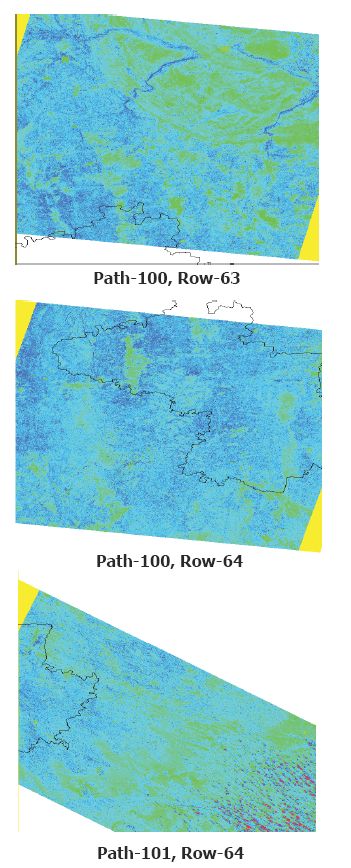
Figure 5: IRS 1C rectified scenes for scenes corresponding to (100,63), (100,64)
and (101,64)
This includes the development of GRDSS and testing considering the Kolar district data for land use analyses.
Development of GRDSS entailed: