
 Sahyadri ENews Issues: I - LXXVIII

Eco-restoration for people, nature, and climate of a spiritual campus- Satyaloka, Andhra PradeshCite
T V Ramachandra, Bharath Setturu, Vinay
ENVIS[RP], Environmental Information System, Energy and Wetlands
Research Group,
Centre for Ecological Sciences, Indian Institute of Science -
560012
envis.ces@iisc.ac.in
tvr@iisc.ac.in Phone:
080 22933099/22933503
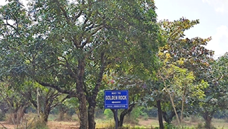
2.1 Satyaloka campus: The spatial extent of Satyaloka is 42.3 hectares, and the landscape is presented in Figure 1. Field investigations were carried out in the campus to understand the landscape status. Figure 2 depicts the 3-dimensional topography of the campus overlaid on the remote sensing data. Figure 3 provides the stream network overlaid on the land cover (remote sensing data) of the Satyaloka campus. The annual rainfall in the Satyaloka campus ranges between 597 to 1360 mm (Source: NASA POWER), and the average rainfall is about 860 mm during the past three decades (1982 - 2020). Figure 4 depicts the annual rainfall variability in Satyaloka (Figure 4). Month-wise assessment of rainfall in Satyaloka, depicted in Figure 5, indicates maximum share is during September and October, followed by August, July, and November. Southwest monsoon contributes 61%, and Northeast monsoon is about 31% of the total precipitation in the region, and the region receives rainfall for 79 days.
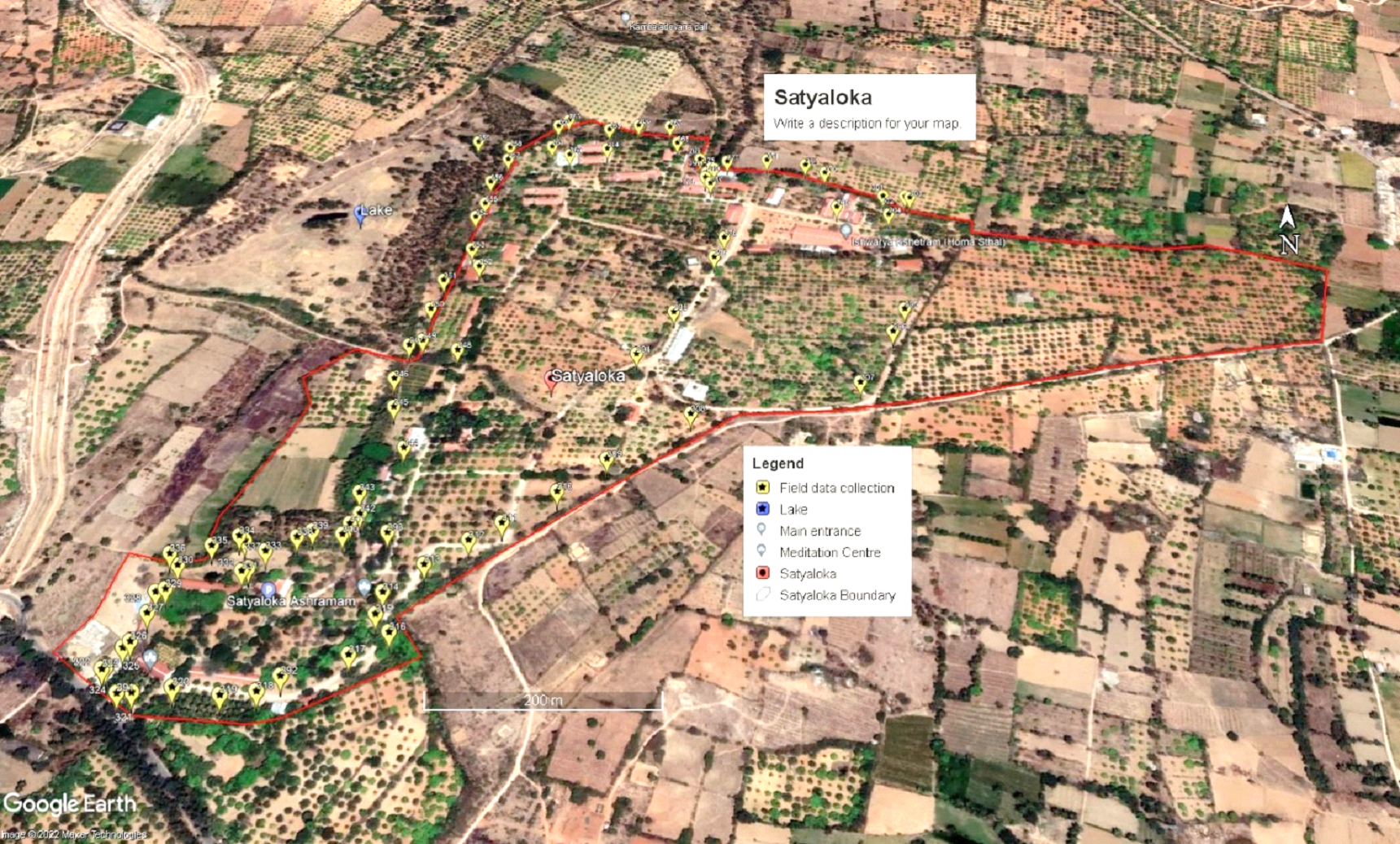
Figure 1. Satyaloka and field data collection
2.2 Field Investigation and Observations
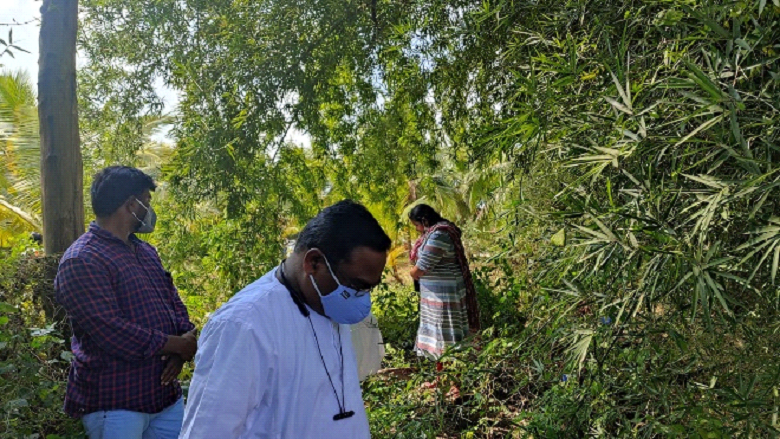
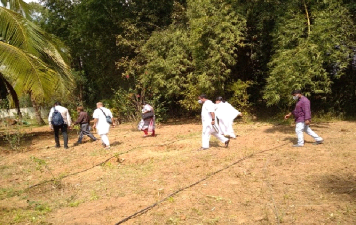
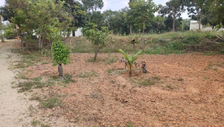
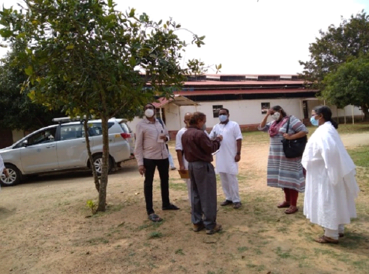
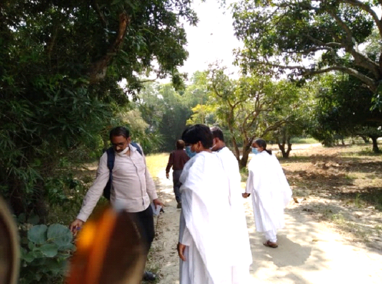
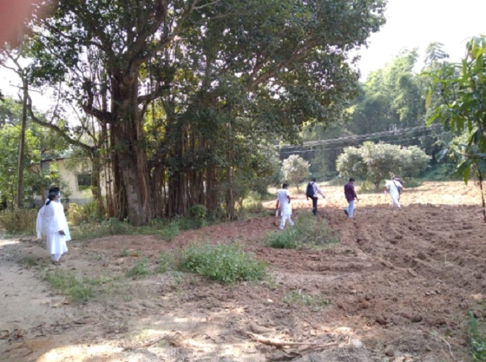
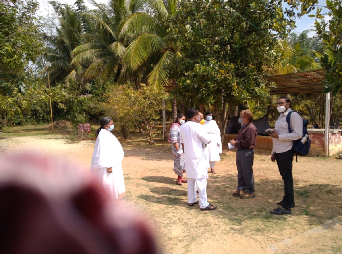
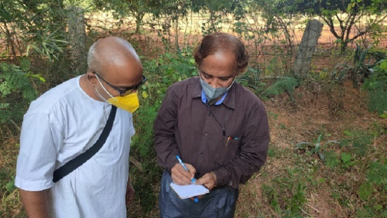
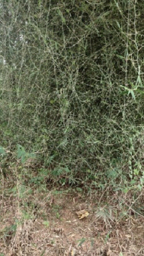
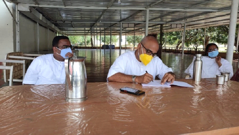
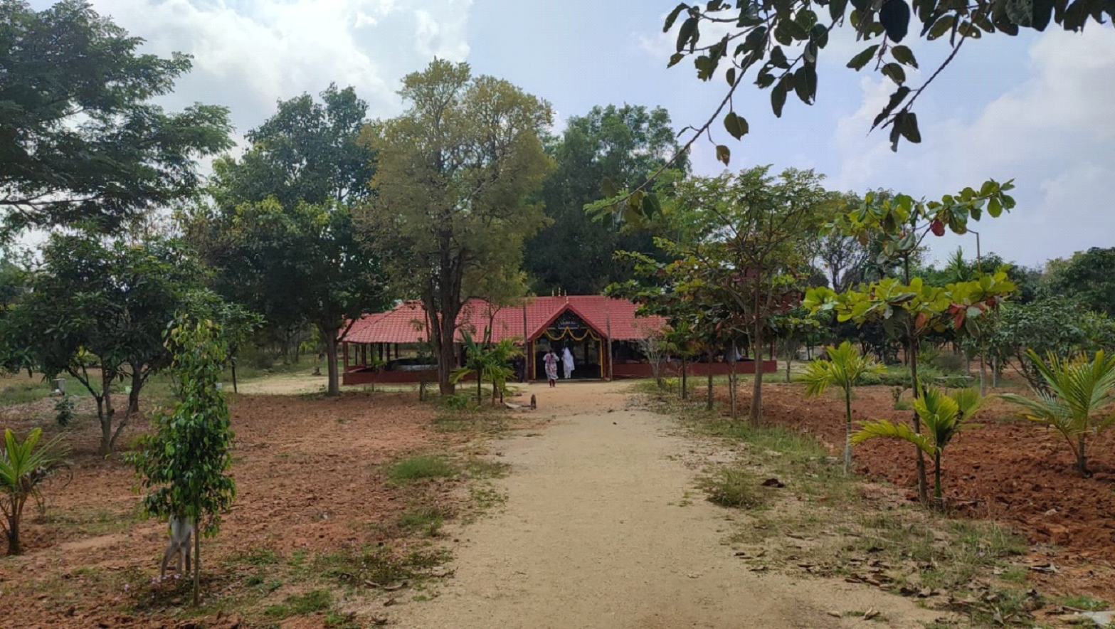
The field investigation was carried out to understand the landscape status using a pre-calibrated handheld global positioning system (GPS). The region has a large spatial extent under mango plantation and followed by scrub vegetation. The drainage network in the campus is poorly maintained with an accumulation of silt. Table 1 provides a collage of field photographs of investigations and interaction with volunteers of the campus.
Table 1. Field investigations and discussion with volunteers
 |
 |
Field investigation near the existing drain |
|
 |
 |
Exotic and native avenue trees on the campus |
|
 |
 |
 |
 |
Understanding the existing vegetation cover |
|
 |
 |
Drains - poorly maintained (filled with silt and debris) |
|
 |
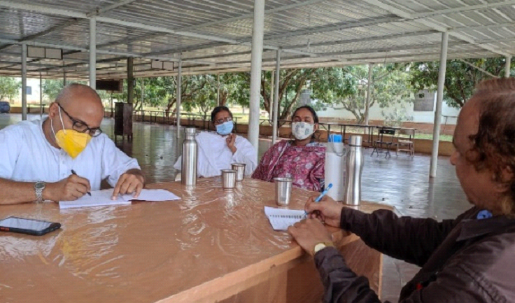 |
Interaction with dasas (Volunteers) |
|
Mango plantations within the site 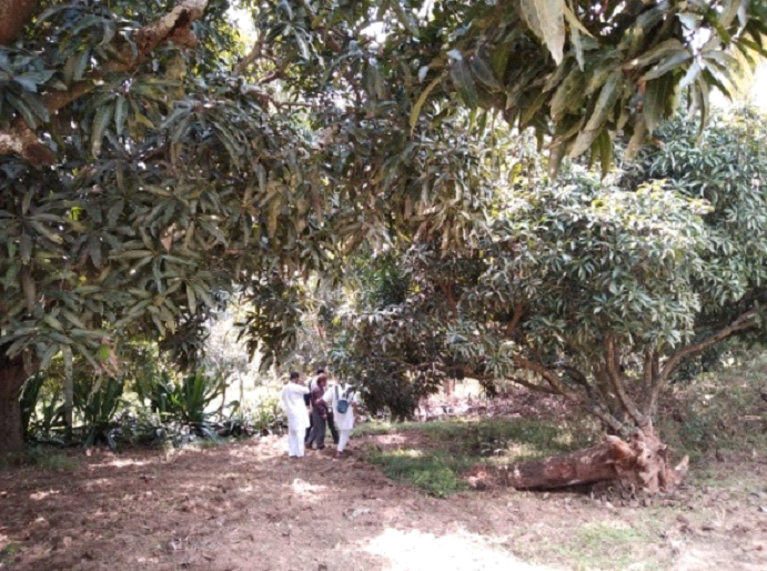 |
Poorly maintained lake next to the Satyaloka (filled with garbage, dumping of debris) 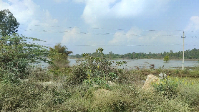 |
Existing Eucalyptus plantations (boundary) 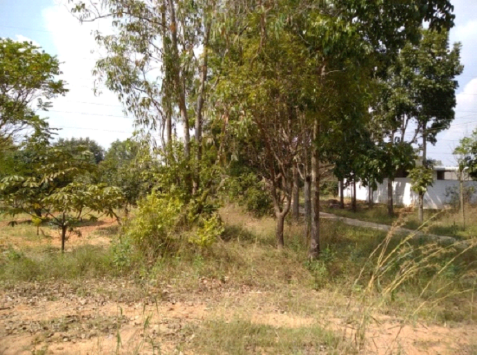 |
Bamboo plants inside the existing drain 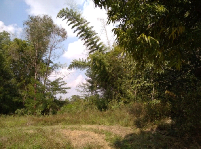 |
 |
|
2.3 Hydrologic regime in the campus
Soils in Satyaloka are Red soils that are deep and loamy, i.e., soil is of Group A/B, Land use in Satyaloka is mostly plantations and an average rainfall of 860 mm and 79 rainy days. Based on the curve number (60), the catchment yield and the water flow as overland flows are approximately 422 mm or approximately 175 Million litres (175 kilo cubic meters), which accounts for 50% of the total rainfall moves as overland flows during monsoon. Analyses of the drainage network in the campus reveal that there are five major outlets (Figure 3). The best options for the campus is to retain the rainwater of 175 Million litres in the campus through (i) enhancing green cover of native species, which allow infiltration of at least 40 to 50% of rainwater, (ii) storage structures (figure 6) and (iii) recharge pits as indicated in Figure 7. As indicated in Figure 6, having water harvesting structures would help collect rainwater of 50 Million litres from 12 hectares catchment (at harvesting/storage structure 1) and collect 38 million litres from a catchment of 9 hectares (Harvesting/storage structure 2). During September month, the Satyaloka campus receives 80 mm of rainfall, with prospects of harvesting 10-kilo cubic meters at location 1 and 6.7-kilo cubic meters at location 2. Authorities can plan for rainwater harvesting through storage structures and recharge pits (Figure 7).
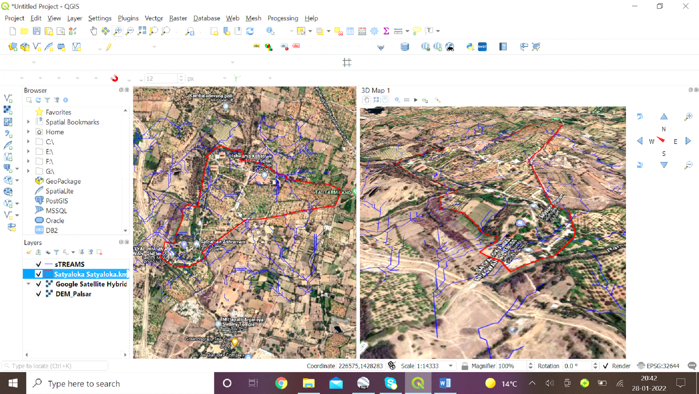
Figure 2. Land cover in the campus and 3D perspective of the plot
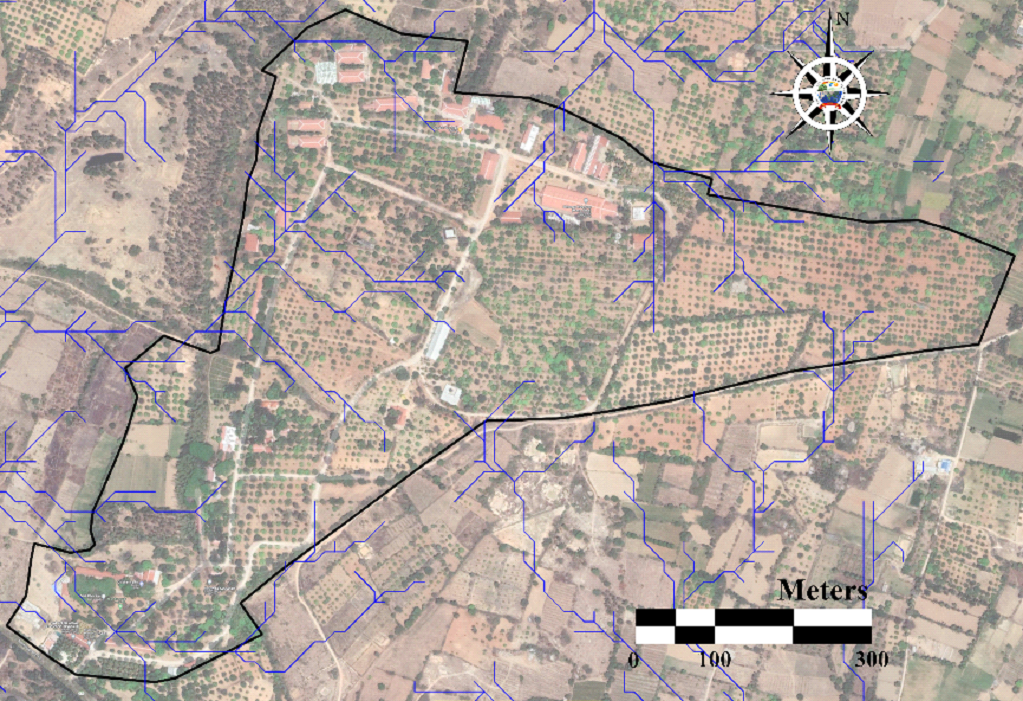
Figure 3. Drainage network (blue lines) in an around Satyaloka
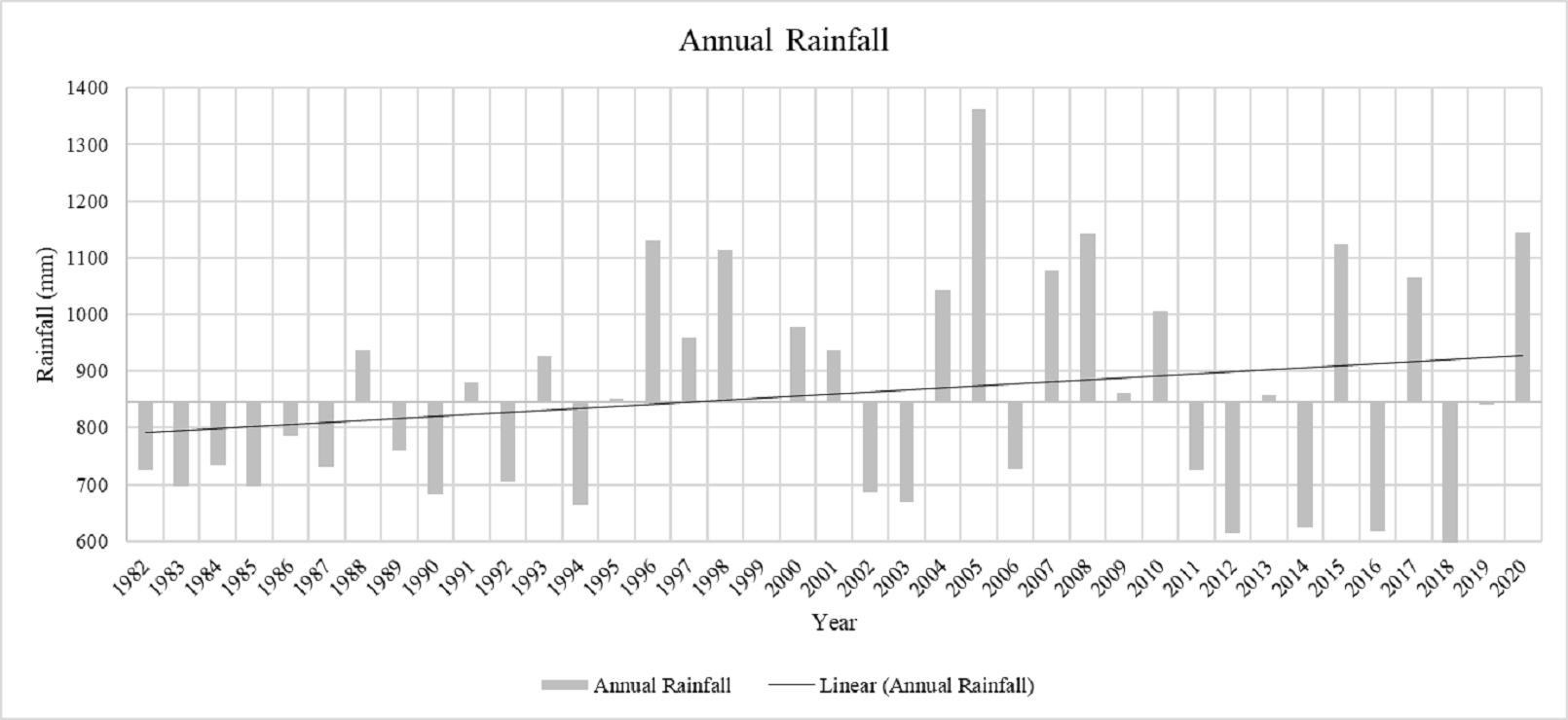
Figure 4. Annual rainfall variation
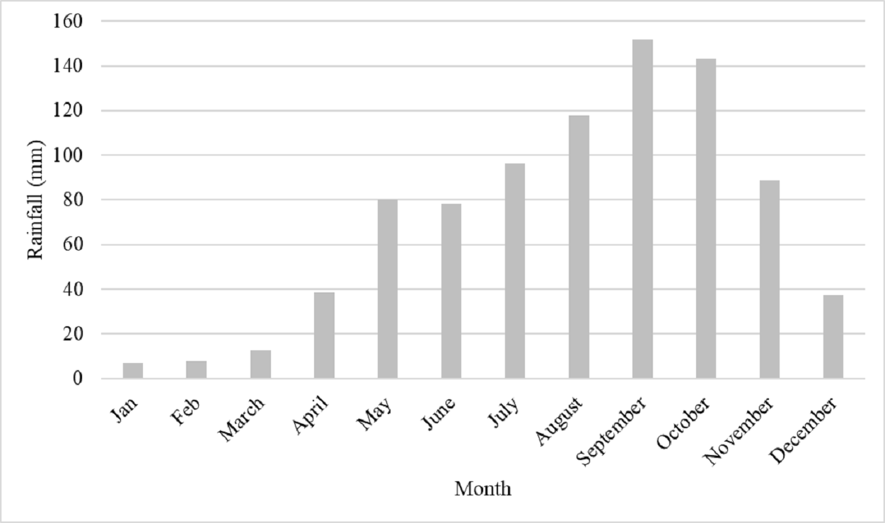
Figure 5. Monthly Rainfall variability
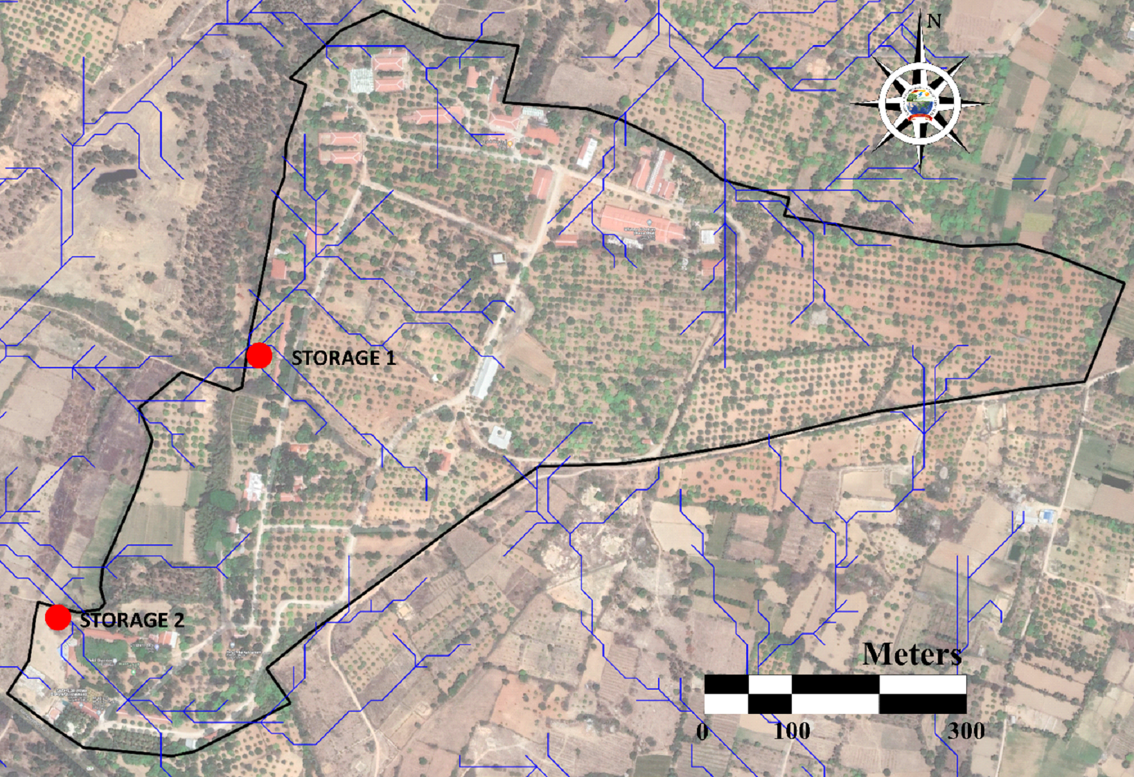
Figure 6. Likely location of large storage structures
The spatial extent of rooftops of numerous buildings at the Satyaloka campus is about 16823 sq m (1.68 ha), which can be used for harvesting rainwater (Figure 8). Rooftop harvesting structure design can be adopted either as per the information available at the Government of Telangana website (https://jalamjeevam.telangana.gov.in/rain-water-harvesting/how-to-construcrt/ ) or KSCST, Government of Karnataka (https://www.kscst.org.in/rwh.html ).
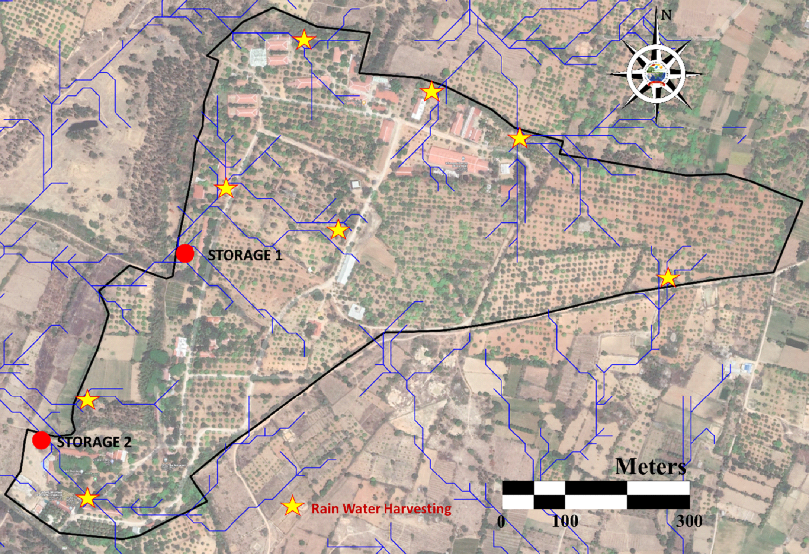
Figure 7. locations for rainwater recharge locations
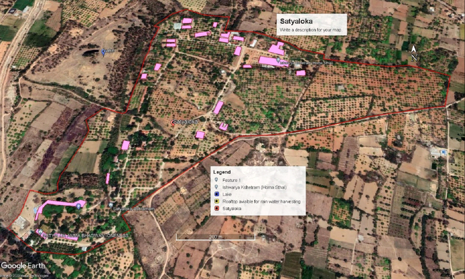
Figure 8. Rooftop marked for rainwater harvesting