
Graphical index of GRASS GIS modules
Go to raster introduction | topics
Raster modules:
 r.basins.fill Generates watershed subbasins raster map.
 r.blend Blends color components of two raster maps by a given ratio.
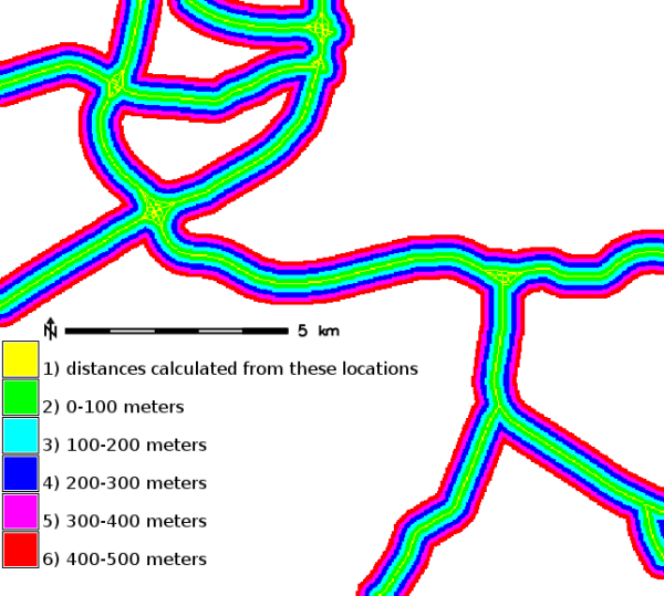 r.buffer Creates a raster map showing buffer zones surrounding cells that contain non-NULL category values.
 r.buffer.lowmem Creates a raster map showing buffer zones surrounding cells that contain non-NULL category values.
 r.buildvrt Build a VRT (Virtual Raster) from the list of input raster maps.
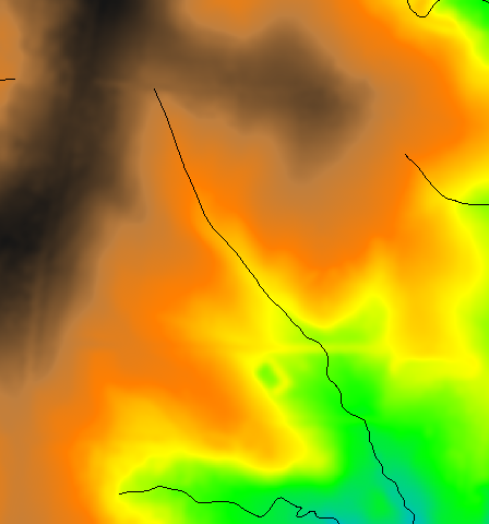 r.carve Generates stream channels.
 r.category Manages category values and labels associated with user-specified raster map layers.
 r.circle Creates a raster map containing concentric rings around a given point.
 r.clump Recategorizes data in a raster map by grouping cells that form physically discrete areas into unique categories.
 r.coin Tabulates the mutual occurrence (coincidence) of categories for two raster map layers.
 r.colors Creates/modifies the color table associated with a raster map.
 r.colors.out Exports the color table associated with a raster map.
 r.colors.stddev Sets color rules based on stddev from a raster map's mean value.
 r.composite Combines red, green and blue raster maps into a single composite raster map.
 r.compress Compresses and decompresses raster maps.
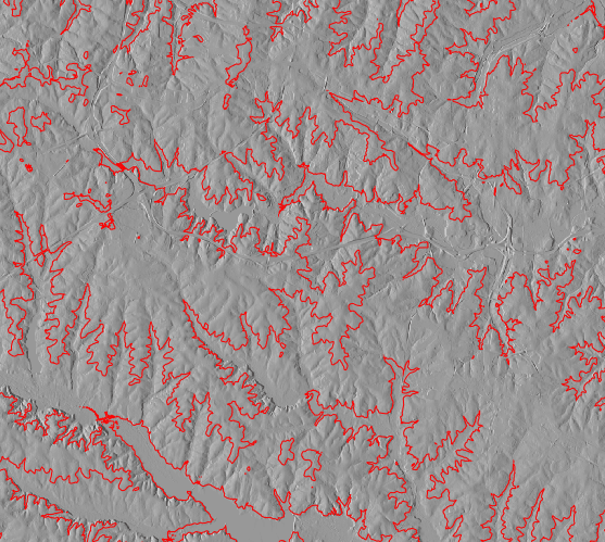 r.contour Produces a vector map of specified contours from a raster map.
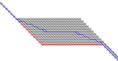 r.cost Creates a raster map showing the cumulative cost of moving between different geographic locations on an input raster map whose cell category values represent cost.
 r.covar Outputs a covariance/correlation matrix for user-specified raster map layer(s).
 r.cross Creates a cross product of the category values from multiple raster map layers.
 r.describe Prints terse list of category values found in a raster map layer.
 r.distance Locates the closest points between objects in two raster maps.
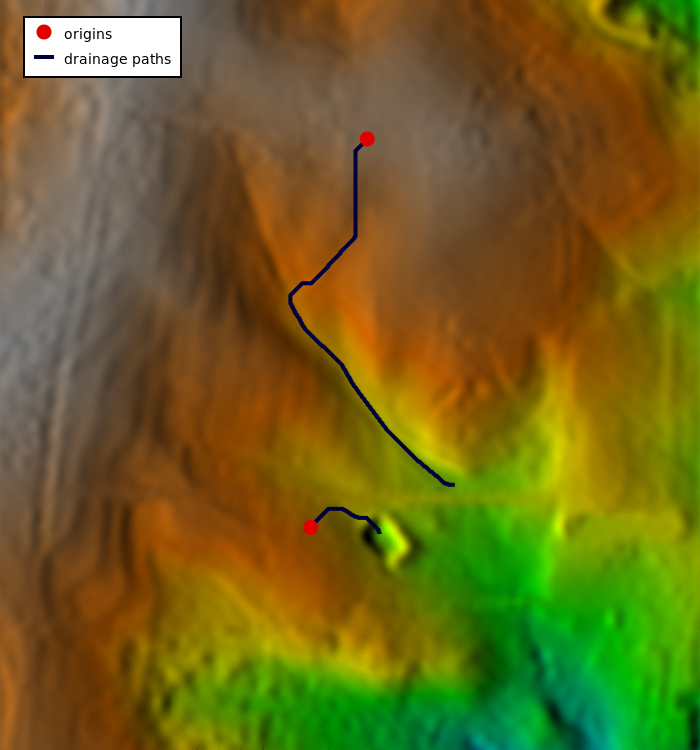 r.drain Traces a flow through an elevation model or cost surface on a raster map.
 r.external Links GDAL supported raster data as a pseudo GRASS raster map.
 r.external.out Redirects raster output to file utilizing GDAL library rather than storing in GRASS raster format.
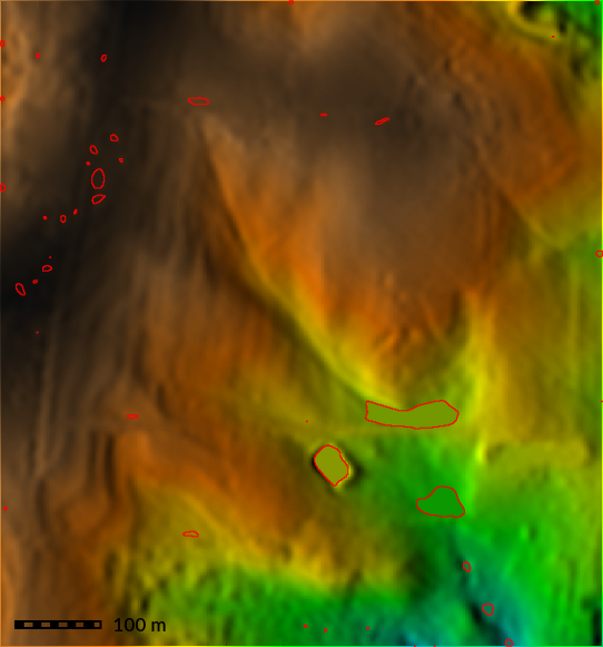 r.fill.dir Filters and generates a depressionless elevation map and a flow direction map from a given elevation raster map.
 r.fill.stats Rapidly fills 'no data' cells (NULLs) of a raster map with interpolated values (IDW).
 r.fillnulls Fills no-data areas in raster maps using spline interpolation.
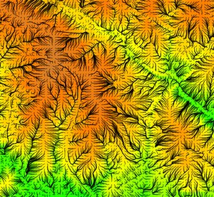 r.flow Constructs flowlines.
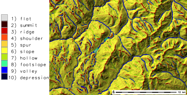 r.geomorphon Calculates geomorphons (terrain forms) and associated geometry using machine vision approach.
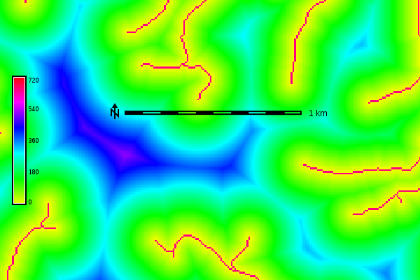 r.grow.distance Generates a raster map containing distances to nearest raster features and/or the value of the nearest non-null cell.
 r.grow Generates a raster map layer with contiguous areas grown by one cell.
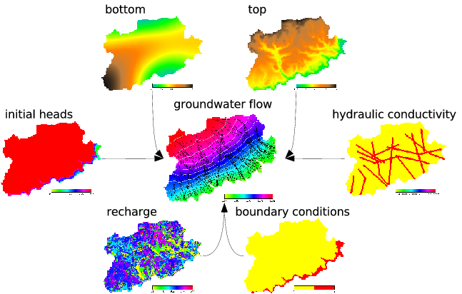 r.gwflow Numerical calculation program for transient, confined and unconfined groundwater flow in two dimensions.
 r.his Generates red, green and blue (RGB) raster map layers combining hue, intensity and saturation (HIS) values from user-specified input raster map layers.
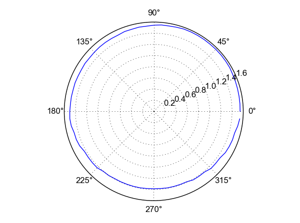 r.horizon Computes horizon angle height from a digital elevation model.
 r.import Imports raster data into a GRASS raster map using GDAL library and reprojects on the fly.
 r.in.ascii Converts a GRASS ASCII raster file to binary raster map.
 r.in.aster Georeference, rectify, and import Terra-ASTER imagery and relative DEMs using gdalwarp.
 r.in.bin Import a binary raster file into a GRASS raster map layer.
 r.in.gdal Imports raster data into a GRASS raster map using GDAL library.
 r.in.gridatb Imports GRIDATB.FOR map file (TOPMODEL) into a GRASS raster map.
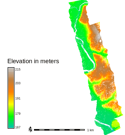 r.in.lidar Creates a raster map from LAS LiDAR points using univariate statistics.
 r.in.mat Imports a binary MAT-File(v4) to a GRASS raster.
 r.in.pdal Creates a raster map from LAS LiDAR points using univariate statistics.
 r.in.png Imports non-georeferenced PNG format image.
 r.in.poly Creates raster maps from ASCII polygon/line/point data files.
 r.in.srtm Imports SRTM HGT files into raster map.
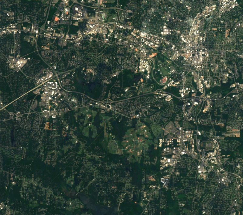 r.in.wms Downloads and imports data from OGC WMS and OGC WMTS web mapping servers.
 r.in.xyz Creates a raster map from an assemblage of many coordinates using univariate statistics.
 r.info Outputs basic information about a raster map.
 r.kappa Calculates error matrix and kappa parameter for accuracy assessment of classification result.
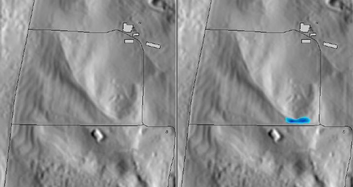 r.lake Fills lake at given point to given level.
 r.latlong Creates a latitude/longitude raster map.
 r.li.cwed Calculates contrast weighted edge density index on a raster map
 r.li.daemon Support module for r.li landscape index calculations.
 r.li.dominance Calculates dominance's diversity index on a raster map
 r.li.edgedensity Calculates edge density index on a raster map, using a 4 neighbour algorithm
 r.li Toolset for multiscale analysis of landscape structure
 r.li.mpa Calculates mean pixel attribute index on a raster map
 r.li.mps Calculates mean patch size index on a raster map, using a 4 neighbour algorithm
 r.li.padcv Calculates coefficient of variation of patch area on a raster map
 r.li.padrange Calculates range of patch area size on a raster map
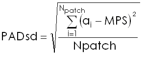 r.li.padsd Calculates standard deviation of patch area a raster map
 r.li.patchdensity Calculates patch density index on a raster map, using a 4 neighbour algorithm
 r.li.patchnum Calculates patch number index on a raster map, using a 4 neighbour algorithm.
 r.li.pielou Calculates Pielou's diversity index on a raster map
 r.li.renyi Calculates Renyi's diversity index on a raster map
 r.li.richness Calculates richness index on a raster map
 r.li.shannon Calculates Shannon's diversity index on a raster map
 r.li.shape Calculates shape index on a raster map
 r.li.simpson Calculates Simpson's diversity index on a raster map
 r.mapcalc Raster map calculator.
 r.mapcalc.simple Calculates a new raster map from a simple r.mapcalc expression.
 r.mask Creates a MASK for limiting raster operation.
 r.mfilter Performs raster map matrix filter.
 r.mode Finds the mode of values in a cover map within areas assigned the same category value in a user-specified base map.
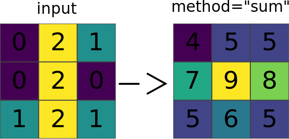 r.neighbors Makes each cell category value a function of the category values assigned to the cells around it, and stores new cell values in an output raster map layer.
 r.null Manages NULL-values of given raster map.
 r.object.geometry Calculates geometry parameters for raster objects.
 r.out.ascii Converts a raster map layer into a GRASS ASCII text file.
 r.out.bin Exports a GRASS raster to a binary array.
 r.out.gdal Exports GRASS raster maps into GDAL supported formats.
 r.out.gridatb Exports GRASS raster map to GRIDATB.FOR map file (TOPMODEL).
 r.out.mat Exports a GRASS raster to a binary MAT-File.
 r.out.mpeg Converts raster map series to MPEG movie.
 r.out.png Export a GRASS raster map as a non-georeferenced PNG image.
 r.out.pov Converts a raster map layer into a height-field file for POV-Ray.
 r.out.ppm Converts a GRASS raster map to a PPM image file.
 r.out.ppm3 Converts 3 GRASS raster layers (R,G,B) to a PPM image file.
 r.out.vrml Exports a raster map to the Virtual Reality Modeling Language (VRML).
 r.out.vtk Converts raster maps into the VTK-ASCII format.
 r.out.xyz Exports a raster map to a text file as x,y,z values based on cell centers.
 r.pack Exports a raster map as GRASS GIS specific archive file
 r.param.scale Extracts terrain parameters from a DEM.
 r.patch Creates a composite raster map layer by using known category values from one (or more) map layer(s) to fill in areas of "no data" in another map layer.
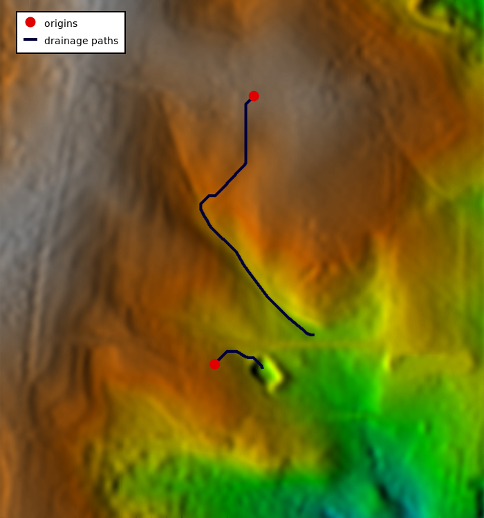 r.path Traces paths from starting points following input directions.
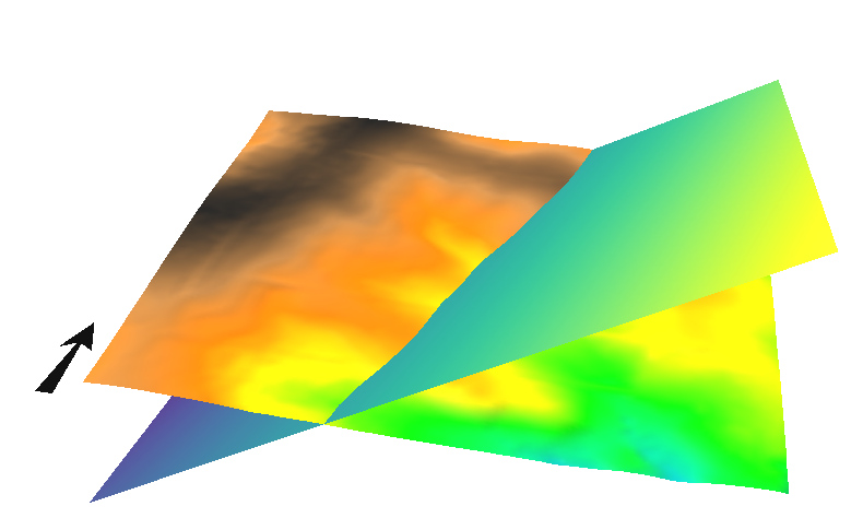 r.plane Creates raster plane map given dip (inclination), aspect (azimuth) and one point.
 r.profile Outputs the raster map layer values lying on user-defined line(s).
 r.proj Re-projects a raster map from given location to the current location.
 r.quant Produces the quantization file for a floating-point map.
 r.quantile Compute quantiles using two passes.
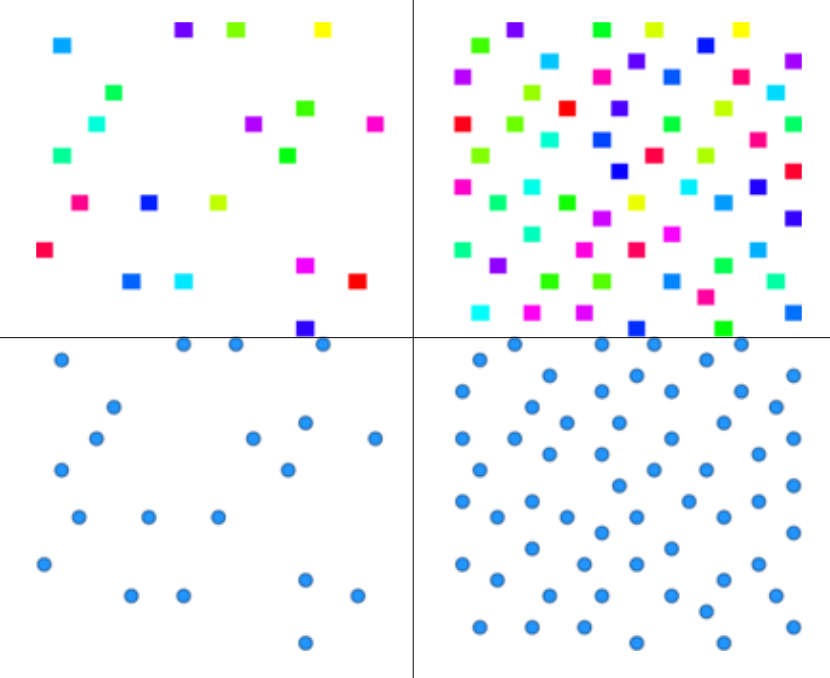 r.random.cells Generates random cell values with spatial dependence.
 r.random Creates randomly placed raster cells or vector points
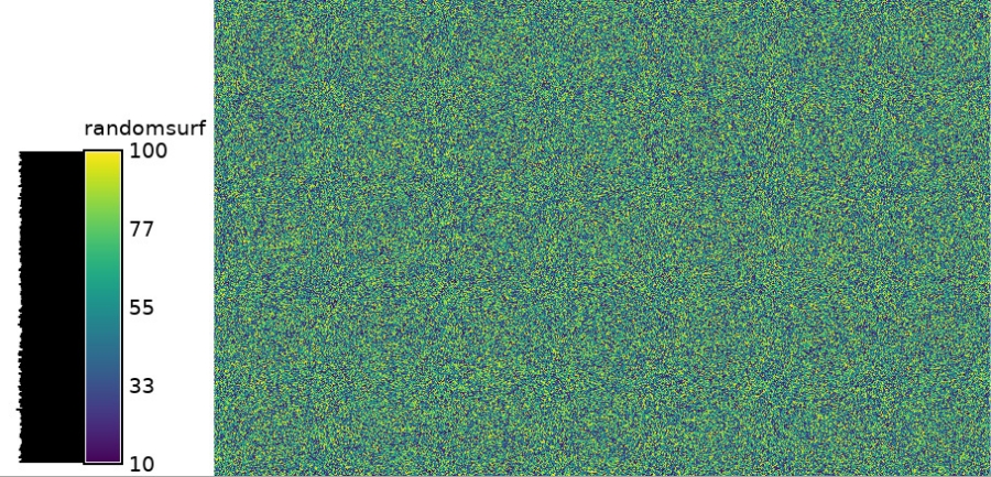 r.random.surface Generates random surface(s) with spatial dependence.
 r.reclass.area Reclasses a raster map greater or less than user specified area size (in hectares).
 r.reclass Reclassify raster map based on category values.
 r.recode Recodes categorical raster maps.
 r.region Sets the boundary definitions for a raster map.
 r.regression.line Calculates linear regression from two raster maps: y = a + b*x.
 r.regression.multi Calculates multiple linear regression from raster maps.
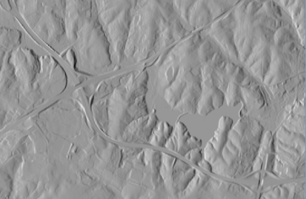 r.relief Creates shaded relief map from an elevation map (DEM).
 r.report Reports statistics for raster maps.
 r.resamp.bspline Performs bilinear or bicubic spline interpolation with Tykhonov regularization.
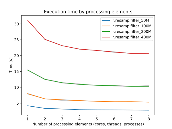 r.resamp.filter Resamples raster map layers using an analytic kernel.
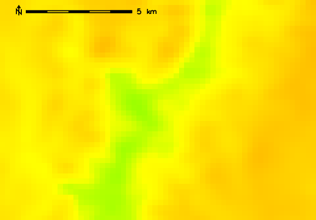 r.resamp.interp Resamples raster map to a finer grid using interpolation.
 r.resamp.rst Reinterpolates and optionally computes topographic analysis from input raster map to a new raster map (possibly with different resolution) using regularized spline with tension and smoothing.
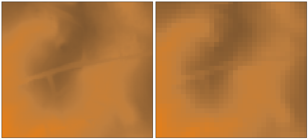 r.resamp.stats Resamples raster map layers to a coarser grid using aggregation.
 r.resample GRASS raster map layer data resampling capability.
 r.rescale.eq Rescales histogram equalized the range of category values in a raster map layer.
 r.rescale Rescales the range of category values in a raster map layer.
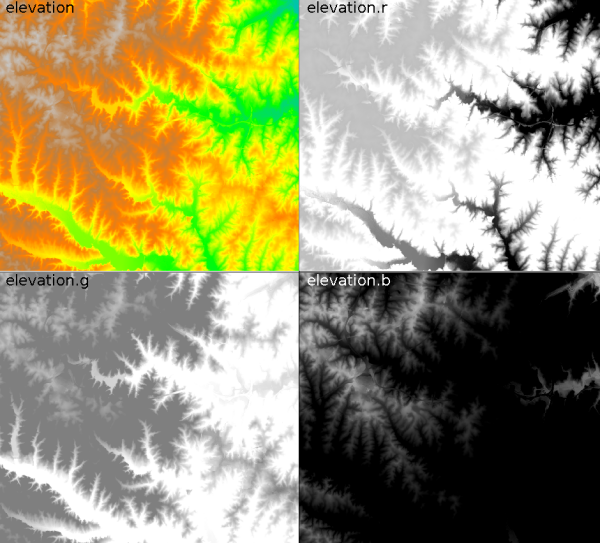 r.rgb Splits a raster map into red, green and blue maps.
 r.ros Generates rate of spread raster maps.
 r.semantic.label Manages semantic label information assigned to a single raster map or to a list of raster maps.
 r.series.accumulate Makes each output cell value a accumulationfunction of the values assigned to the corresponding cells in the input raster map layers.
 r.series Makes each output cell value a function of the values assigned to the corresponding cells in the input raster map layers.
 r.series.interp Interpolates raster maps located (temporal or spatial) in between input raster maps at specific sampling positions.
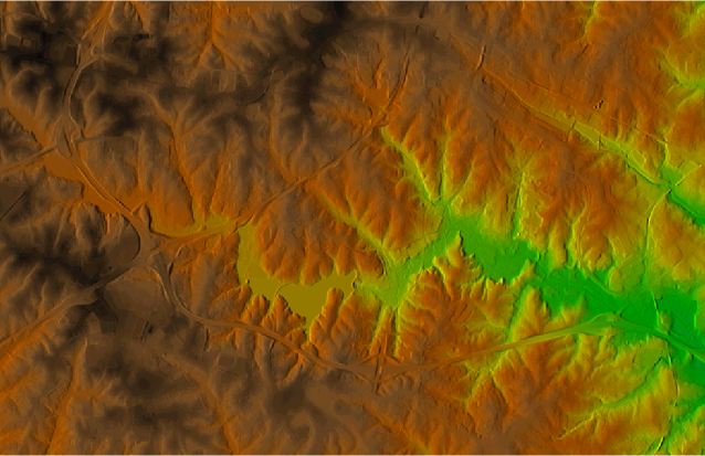 r.shade Drapes a color raster over an shaded relief or aspect map.
 r.sim.sediment Sediment transport and erosion/deposition simulation using path sampling method (SIMWE).
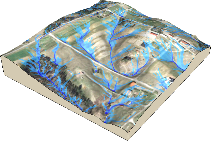 r.sim.water Overland flow hydrologic simulation using path sampling method (SIMWE).
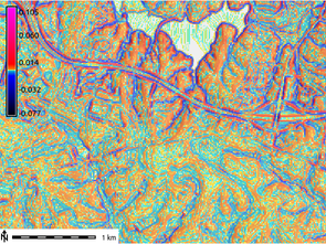 r.slope.aspect Generates raster maps of slope, aspect, curvatures and partial derivatives from an elevation raster map.
 r.solute.transport Numerical calculation program for transient, confined and unconfined solute transport in two dimensions
 r.spread Simulates elliptically anisotropic spread.
 r.spreadpath Recursively traces the least cost path backwards to cells from which the cumulative cost was determined.
 r.statistics Calculates category or object oriented statistics.
 r.stats Generates area statistics for raster map.
 r.stats.quantile Compute category quantiles using two passes.
 r.stats.zonal Calculates category or object oriented statistics (accumulator-based statistics).
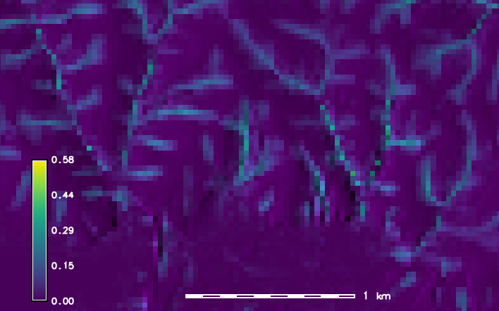 r.stream.extract Performs stream network extraction.
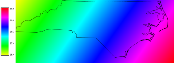 r.sun Solar irradiance and irradiation model.
 r.sunhours Calculates solar elevation, solar azimuth, and sun hours.
 r.sunmask Calculates cast shadow areas from sun position and elevation raster map.
 r.support Allows creation and/or modification of raster map layer support files.
 r.support.stats Update raster map statistics
 r.surf.area Prints estimation of surface area for raster map.
 r.surf.contour Generates surface raster map from rasterized contours.
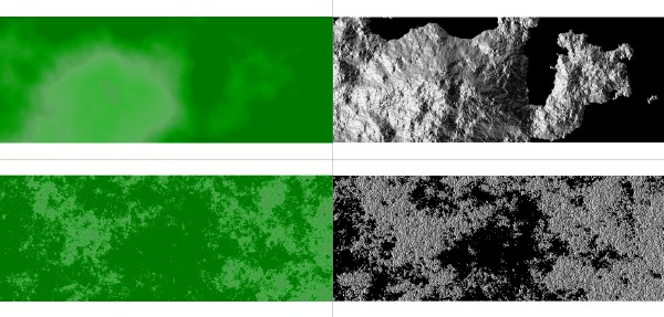 r.surf.fractal Creates a fractal surface of a given fractal dimension.
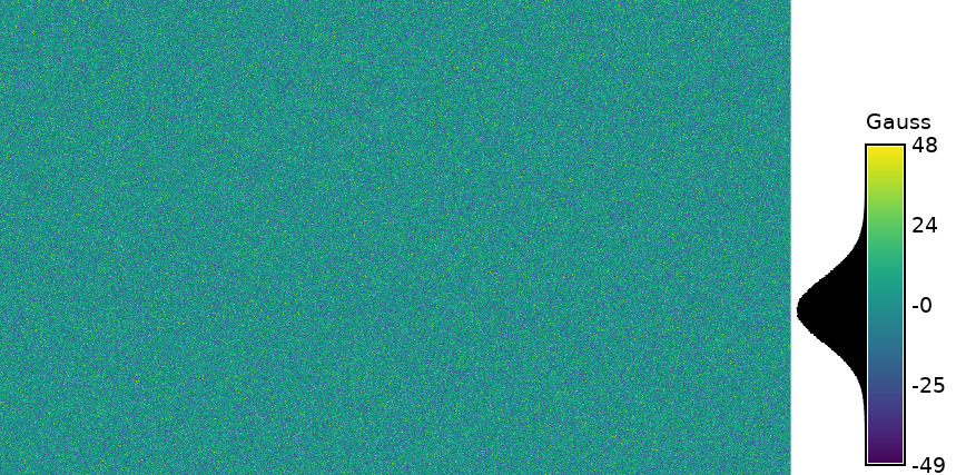 r.surf.gauss Generates a raster map using gaussian random number generator.
 r.surf.idw Provides surface interpolation from raster point data by Inverse Distance Squared Weighting.
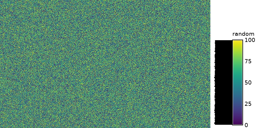 r.surf.random Produces a raster surface map of uniform random deviates with defined range.
 r.terraflow Performs flow computation for massive grids.
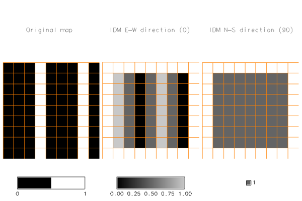 r.texture Generate images with textural features from a raster map.
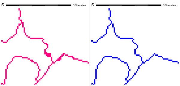 r.thin Thins non-null cells that denote linear features in a raster map layer.
 r.tile Splits a raster map into tiles.
 r.tileset Produces tilings of the source projection for use in the destination region and projection.
 r.timestamp Modifies a timestamp for a raster map.
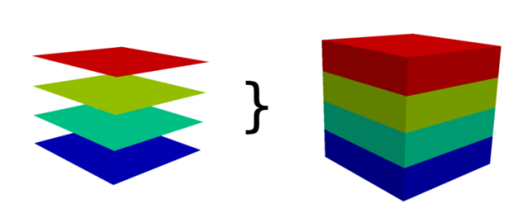 r.to.rast3 Converts 2D raster map slices to one 3D raster volume map.
 r.to.rast3elev Creates a 3D volume map based on 2D elevation and value raster maps.
 r.to.vect Converts a raster map into a vector map.
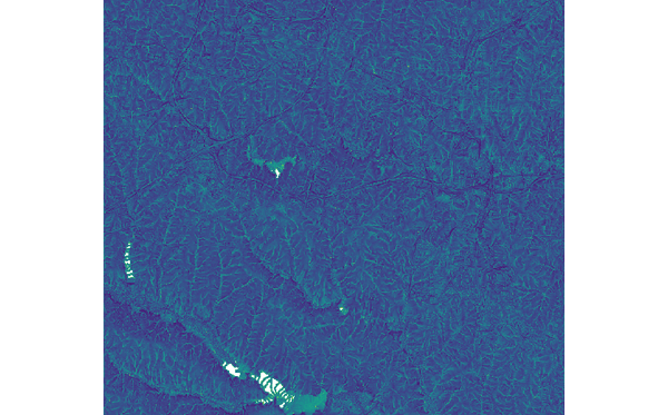 r.topidx Creates a topographic index (wetness index) raster map from an elevation raster map.
 r.topmodel Simulates TOPMODEL which is a physically based hydrologic model.
 r.transect Outputs raster map layer values lying along user defined transect line(s).
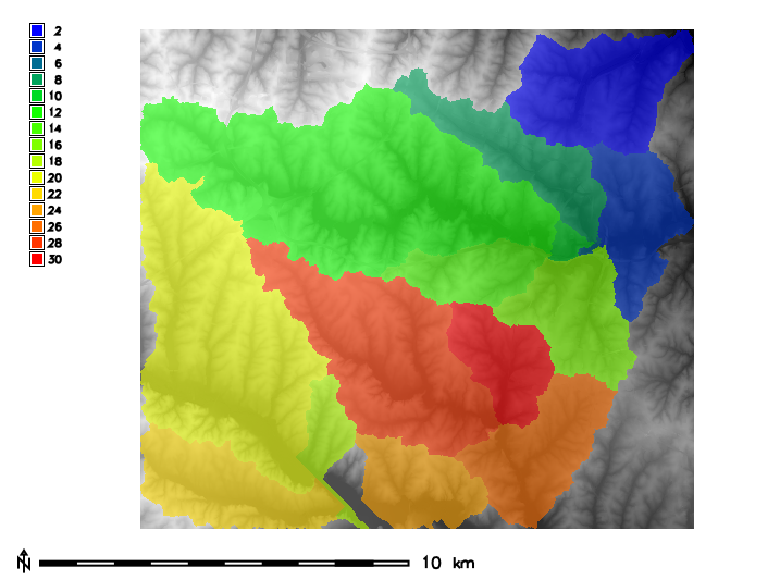 r.univar Calculates univariate statistics from the non-null cells of a raster map.
 r.unpack Imports a GRASS GIS specific raster archive file (packed with r.pack) as a raster map
 r.uslek Computes USLE Soil Erodibility Factor (K).
 r.usler Computes USLE R factor, Rainfall erosivity index.
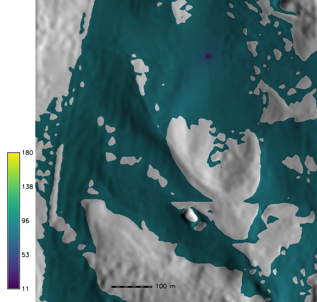 r.viewshed Computes the viewshed of a point on an elevation raster map.
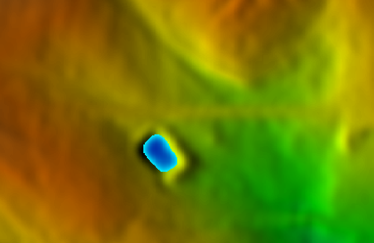 r.volume Calculates the volume of data "clumps".
 r.walk Creates a raster map showing the anisotropic cumulative cost of moving between different geographic locations on an input raster map whose cell category values represent cost.
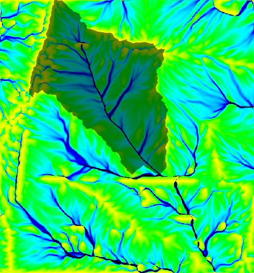 r.water.outlet Creates watershed basins from a drainage direction map.
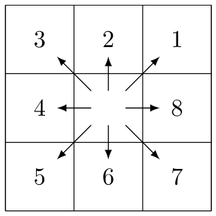 r.watershed Calculates hydrological parameters and RUSLE factors.
 r.what.color Queries colors for a raster map layer.
 r.what Queries raster maps on their category values and category labels.
Main index | Topics index | Keywords index | Graphical index | Full index
© 2003-2023 GRASS Development Team, GRASS GIS 8.3.dev Reference Manual