
Introduction
The Western Ghats (Sahyadris), extending from 8° N to 21° N latitudes and 73° E to 77° E longitudes is one among 36 global biodiversity hotspots, one among the eight unique ‘hottest hotspots’ of biological diversity (https://www.iucn.org/) with the exceptional endemic flora and fauna. The region is endowed with 4,600 species of flowering plants (38% endemics), 330 butterflies (11% endemics), 156 reptiles (62% endemics), 508 birds (4% endemics), 120 mammals (12% endemics), 289 fishes (41% endemics) and 135 amphibians (75% endemics). The Western Ghats is one of the primary the 200 globally most important ecoregions. It is a continuous escarpment spreading from Gujarat to Kerala states covering an area of 160000 km2 (constitutes only 5% of India’s geographical extent) and a length of 1600 km with an exceptionally small break in the far south called ‘Palghat gap’ between Nilgiri hills and Annamalai ranges. It is one of the oldest mountain chains, retaining the original Gondwanaland geology. It has elevation ranges from 300-2700 m, spread across six states (i.e., Gujarat, Maharashtra, Goa, Karnataka, Tamil Nadu, Kerala) and a union territory (Dadra and Nagar Haveli) of India, with a mean annual rainfall of 2500 mm. The forest landscape, due to variability in precipitation and topographic diversity, comprises a wide variety of eco-zones ranging from wet evergreen and semi-evergreen forests at high altitudes, moist deciduous forests in the medium altitudes, and dry deciduous forests, scrub type on the eastern slopes and lowlands. The Western Ghats are endowed with perennial river networks and function as a water tower for peninsular India, ensuring water and food security and sustaining the livelihood of millions of dependent populations. It is considered as a water tower of India due to numerous streams originates and draining millions of hectares. The rivers of WG sustains water ensuring water and food security of 245+ million people in the peninsular Indian states. WG has 261 persons per square kilometer located in six states under such as Kerala, Tamil Nadu, Karnataka, Goa, Maharashtra, Gujrat and Dadra and Nagar Haveli (Union Territory). The region has 261 persons per square kilometer density of population. Areca nut, coconut, coffee, tea, rubber, spices, paddy, sugarcane, cereals, cotton are major agriculture and horticulture products grown across the regions. The prime forests have been transformed into other land uses from past 4 decades due to commercial establishments, hydroelectric projects, industries and monoculture plantations.
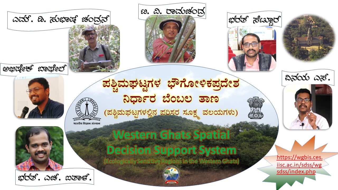
The current Issue (Sahyadri E News LXXXII) presents Western Ghats decision support system to visualise ecologically sensitive villages.
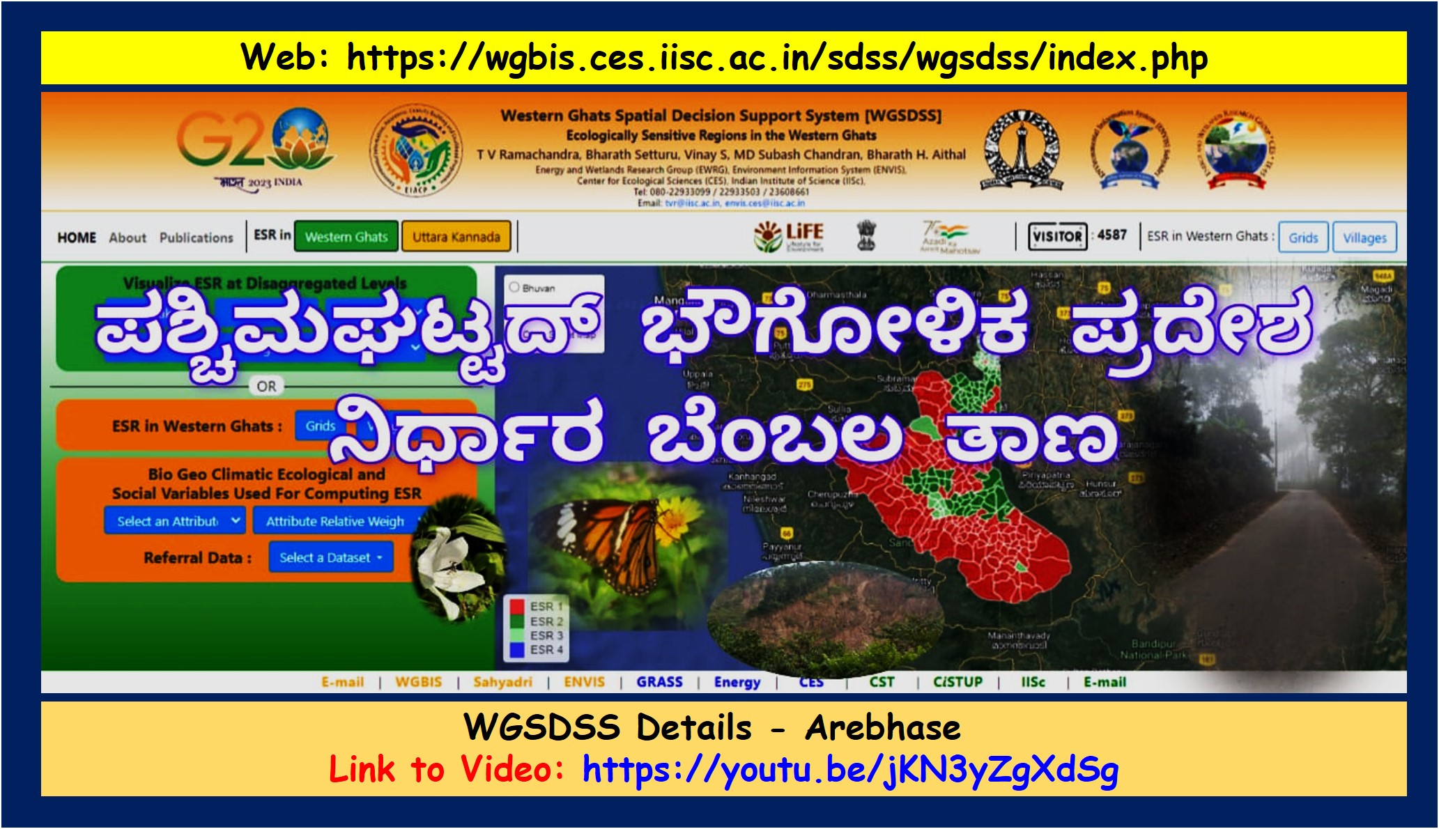
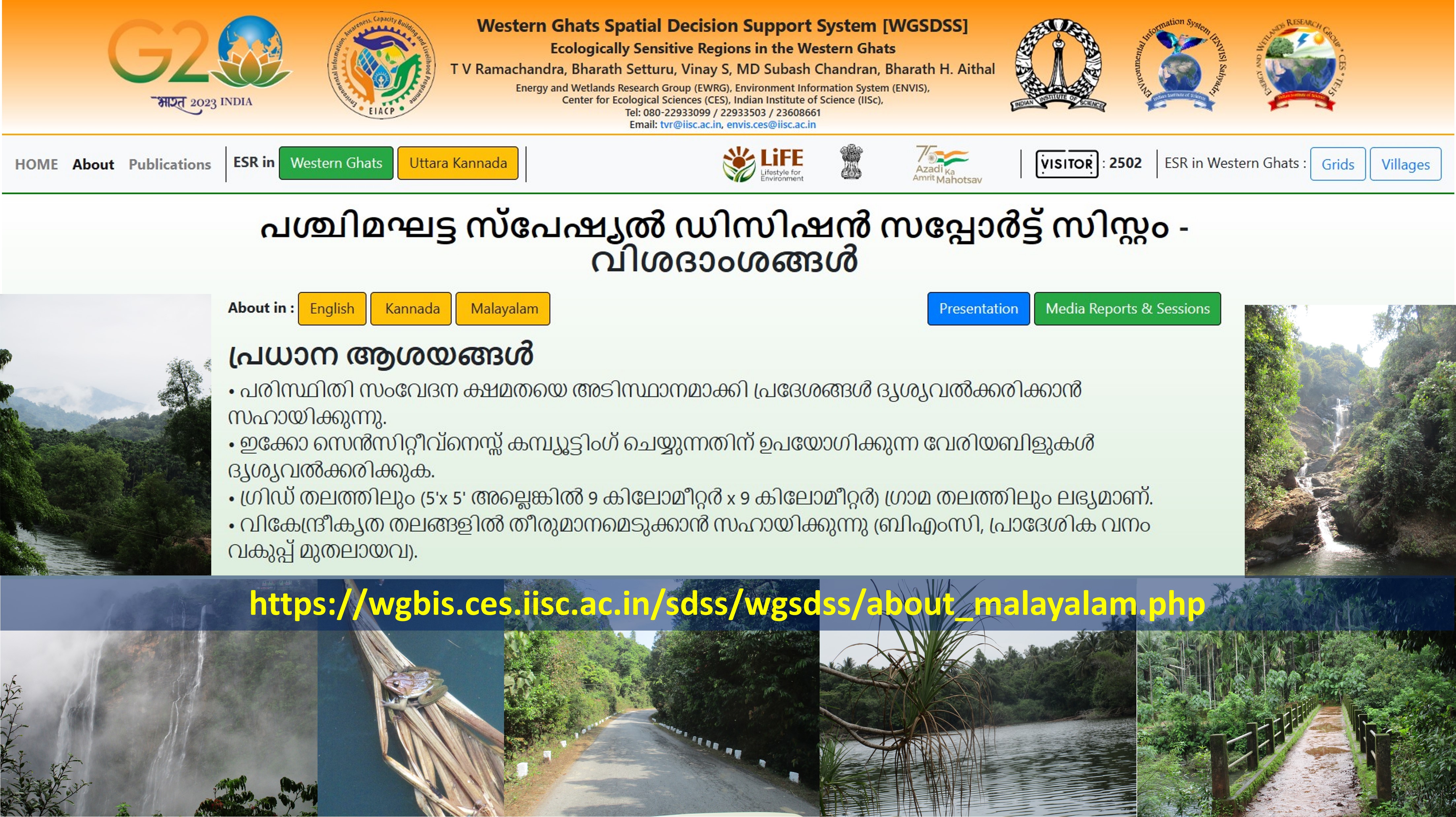
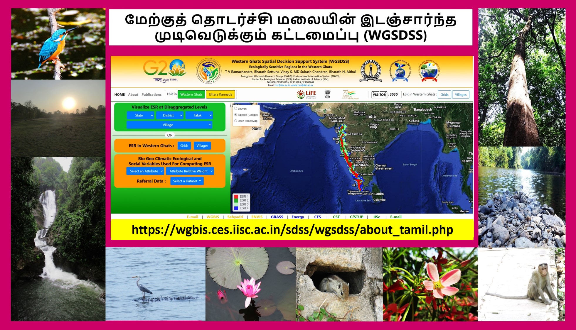
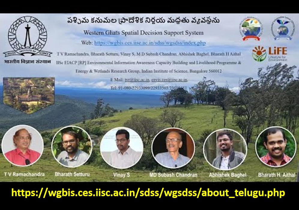
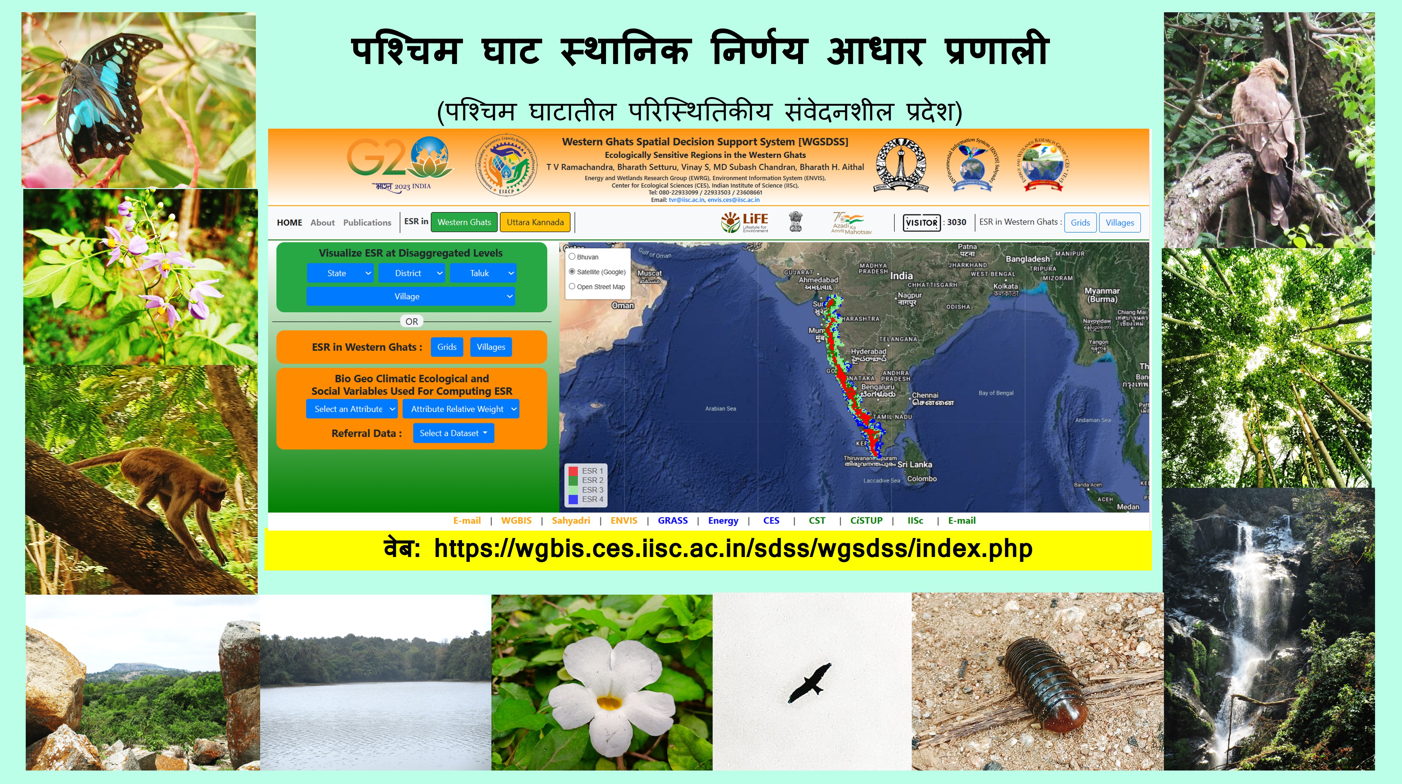
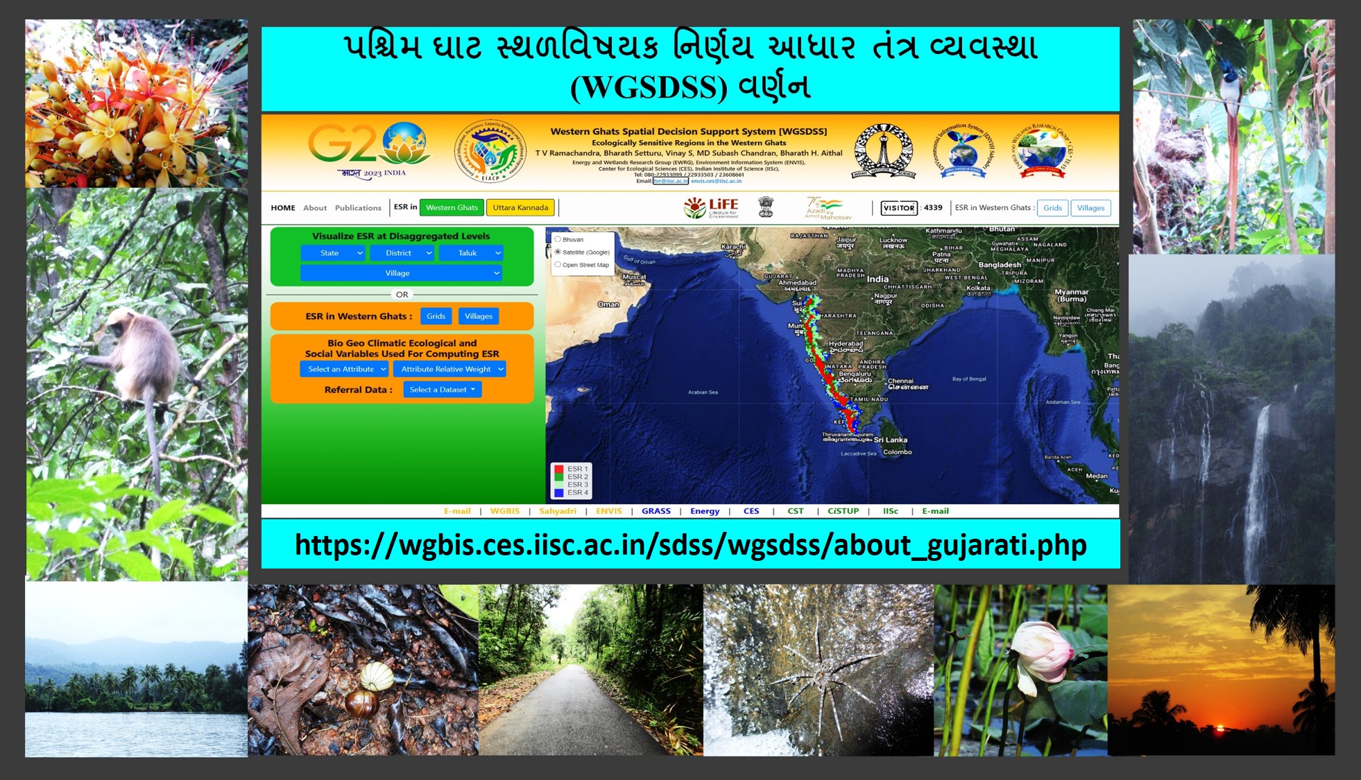
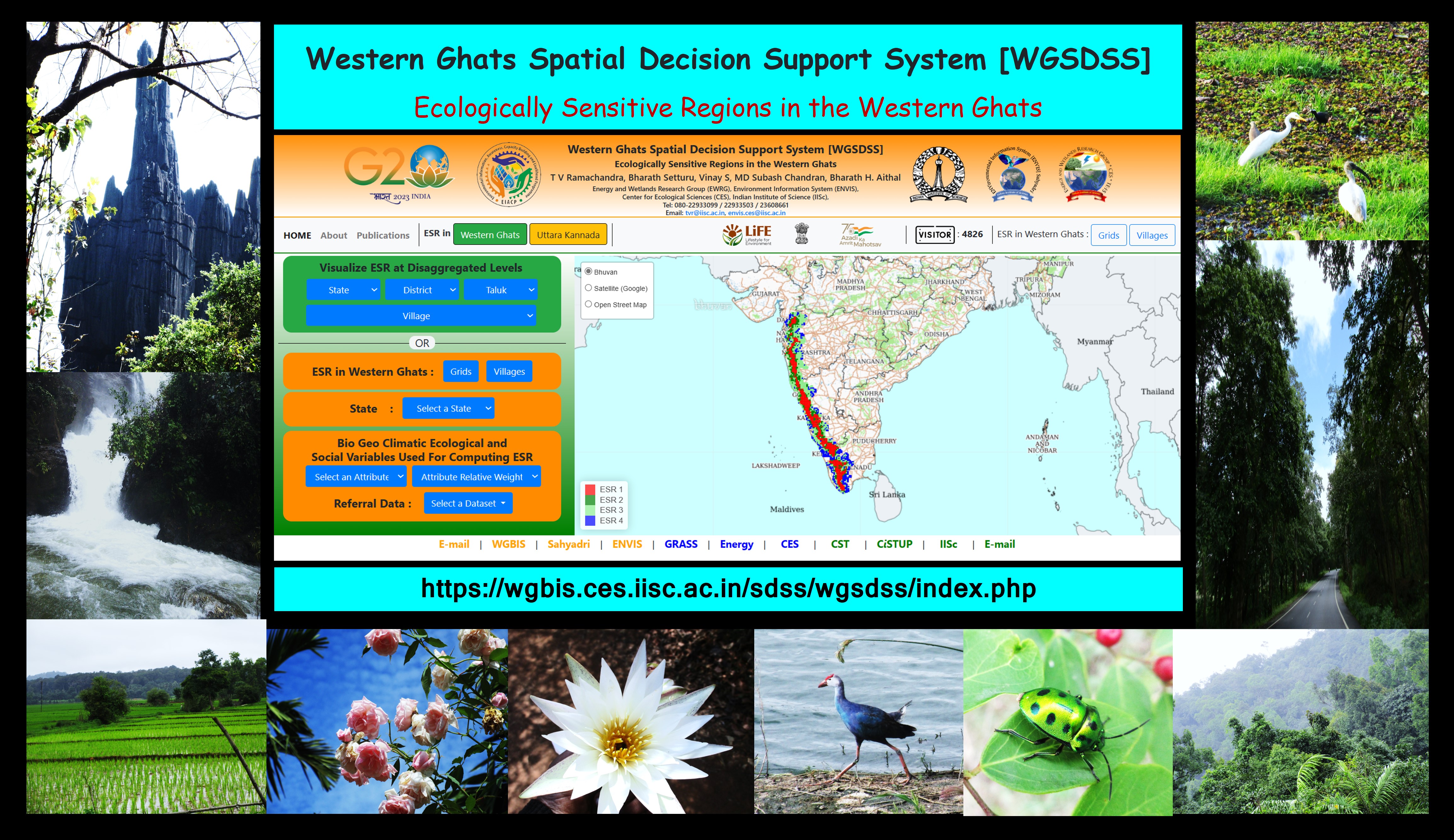
Western Ghats Spatial Decision Support System (WGSDSS) has been designed as part of the ongoing ecological research in the Western Ghats by taking advantage of the recent advances in information and open source web technologies through the integration of spatial with the attribute information (bio, geo, climatic, ecological, environmental, and social variables) at disaggregated levels. This enhances governance transparency while meeting societal needs, which helps in the prudent management of ecologically and hydrologically vital Sahyadri hill ranges. Visualization of ecologically sensitive regions at disaggregated levels (grids/village) through synthesis and integration of information would enable understanding of the current status, which are essential for effective decision-making at decenralised levels for example BMCs (Biodiversity Management Committees ) towards sustainable management of natural resources. Web-based spatial decision support system (WSDSS) is designed by integrating free and open source software (GeoServer, PostgreSQL, PostGIS, Leaflet) and integration of spatial information of Open Geospatial Consortium (OGC) standards to carry out a multiple criteria analysis. Features such as Web Map Service (WMS), and Web Feature Service (WFS) would help in accomplishing effective dissemination of the ecological, socio, economic, biodiversity and environmental information.
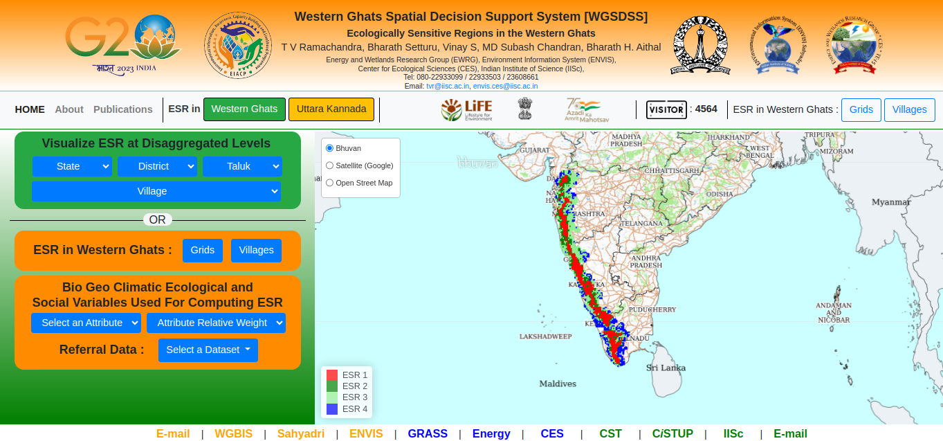
WGSDSS URL: https://wgbis.ces.iisc.ac.in/sdss/wgsdss/index.php
- Helps in visualizing regions based on eco-sensitiveness
- Visualize variables used for computing eco-sensitiveness
- Available at grid level (5’x5’ or 9 km x 9 km) and village levels
- Aids in decision making at decentralized levels (BMC, local forest department, etc.)
Ecological sensitivity or fragility refers to permanent and irreparable loss of extant life forms or significant damage to the natural processes of evolution and speciation with the alterations in the ecological integrity of a region. The comprehensive knowledge of the ecological fragility of a region is quintessential for evolving strategies for conserving the area, which entails identifying factors responsible for ecological sensitiveness, including landscape dynamics, and visualizing future transitions to mitigate the problems of haphazard and uncontrolled development approaches. The region witnessed large-scale land cover changes during the past century due to unplanned developmental activities with industrialization and globalization. This necessitates implementing mitigation measures involving stakeholders to address the impacts through location-specific conservation measures. Framing conservation and sustainable developmental policies entail delineation of ecologically sensitive regions by integrating bio-geo-climatic, ecological, and social factors representing dynamics of socio-ecological systems, impacts, and drivers. Analyses of ecologically sensitive regions in the Western Ghats, one among 36 global biodiversity hotspots using temporal remote sensing data, highlight serious concerns on the status of forests and conservation options. The mismanagement of these pristine ecosystems evident from deforestation and the current extent of forest ecosystems have been threatening water security with severe challenges to people's livelihood in peninsular India. Spatiotemporal analyses of LU highlight anthropogenic induced developmental thrust with the loss of 5% evergreen forest cover with an increase of 4.5% built-up cover and 9% agriculture area. Fragmentation analyses highlight that interior forest constitutes only 25% of the forest landmass, depicting the fragmentation pressure, impacting local ecology. ESR delineation considers abiotic, biotic, and socio/anthropological factors, reflecting the current status of the fragile landscape and their significance in maintaining ecosystem equilibrium. Grid wise analysis portrays 32% (755 grids) of the area under ESR-1 denoting very high ecological fragility, 16% (373) grids under ESR-2, which has potential to be ESR-1, 34% (789) and 18% (412) under ESR-3, and 4 respectively, with moderate and least ecological fragility. ESR analysis depicts 63,148 km2 area under very higher ecological fragility, 27,646 km2 under high ecological fragility, 48,490 km2 as moderate and 20,716 km2 as low ecological fragility. Integrating ESRs in the sustainable development policy framework would aid in regulating unplanned developmental activities, which aid in ensuring ecological security with the continuance of the essential ecosystem services to sustain the livelihood of people. Ensuring sustenance of natural resources (adequate and clean water, oxygen, etc.) to the next generation (intergeneration equity) through prudent management of ecologically fragile Western Ghats is on our shoulders and let us together ensure conservation of critical ecosystems for our children.