
Materials and Methods
Hassan is one of the districts from the central Western Ghats of Karnataka State, located between Lat.12o31’ and 13o33’ N and Long. 75o33’ and 76o38’ E. Our study region was mainly confined to the basin of the Gundia River and its adjoining areas (Figure 1) falling in Sakleshpur taluk. Gundia, originating at an elevation of about 1400 m in the mountains is an important tributary of the west flowing river Kumaradhara. The Gundia catchment comes under the influence of South-west monsoon in the months of June to September. The average annual rainfall received by Sakleshpur is around 2316 mm. The study was carried out as a part of the integrated ecological study of the heavily wooded Sakleshpur region during 2010-2011. Various macro and micro habitats mainly associated with the Dipterocarpus indicus – Kingiodendron pinnatum - Humboldia brunonis type climax evergreen-semievergreen forests of low elevation (0-850 m elevation) and Mesua ferrea – Palaquium ellipticum type of medium elevation (650-1400 m) forests and their various degradation stages accounted for majority of the ferns observed in the region. The geographical co-ordinates of the locations surveyed were noted down using pre-calibrated GPS (global positioning system).The taxa were identified using appropriate floras, journals, monographs and revisions (Manickam and Irudayaraj 1992; Fraser-Jenkins 2008a; Rajagopal and Gopalkrishna Bhat 1998). Special emphasis was given to the occurrence of endemic and threatened pteridophytes (as evaluated by Fraser-Jenkins 2008b and Chandra et al.2008).
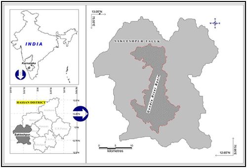
Figure 1: Map showing the location of Sakleshpur and Gundia region