7. Conclusions |
Solar energy is a clean, pollution free and renewable source of energy. Development of this source of energy requires an accurate detailed long-term knowledge of the potential taking into account seasonal variations. The region of the earth between the latitudes of 401N and 401S is generally known as the solar belt and this region is supposed to be with an abundant amount of solar radiation. Karnataka being located between latitudes 111400N and 181270N has a geographic position that favours the harvesting and development of solar energy. Karnataka receives global solar radiation in the range of 3.86.4kWh/m2. Global solar radiation during monsoon is less compared to summer and winter because of the dense cloud cover. The study identifies that coastal parts of Karnataka with the higher global solar radiation are ideally suited for harvesting solar energy.
Wind speed less than 5 m/s is not of much relevance to wind energy applications. Chikkodi, Horti, Kahanderayanahalli, Kamkarhatti, Raichur and Bidar have wind velocity greater than 5 m/s during most of the months, i.e., wind energy potential is high in these locations. Hence, these locations are recommended for construction of wind farms.
Small hydropower development is one of the thrust areas of power generation from renewables in the Ministry of Non-conventional Energy Sources (MNES). Ministry of Non-conventional Energy Sources is encouraging development of small hydroprojects in the State sector as well as through private sector participation in various States. The potential sources of small hydropower are at the base of existing irrigation dams, anicuts,canal drops and hill streams. The State government has so far accorded permission to private developers to establish small hydroprojects in more than 79 locations amounting to 465MW.
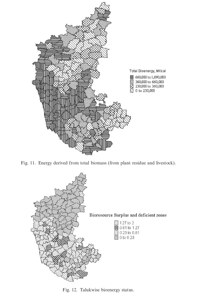
Resourcewise analysis of the study area reveals that bioresource from horticulture constitutes the major share of 43.6%, forest 39.8%, agriculture 13.3%, livestock 3.01% and plantation15%. The availability of bioresources in different taluks depends on the agroclimatic zones.
This study has demonstrated the role of spatial and temporal analysis tools such as GIS in assessing the resource potential in a region. GIS provided the means for identifying and quantifying the spatial and climatic factors affecting the availability of renewable energy potential. In addition to this, it also provided the flexibility to enrich the database, on which decisions are based, with spatial data and additional restriction on renewable resource availability.