
Graphical index of GRASS GIS modules
Go to vector introduction | topics
Vector modules:
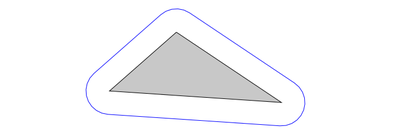 v.buffer Creates a buffer around vector features of given type.
 v.build.all Rebuilds topology on all vector maps in the current mapset.
 v.build Creates topology for vector map.
 v.build.polylines Builds polylines from lines or boundaries.
 v.category Attaches, deletes or reports vector categories to/from/of map geometry.
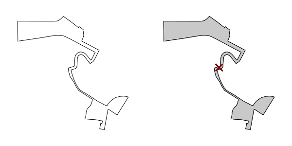 v.centroids Adds missing centroids to closed boundaries.
 v.class Classifies attribute data, e.g. for thematic mapping
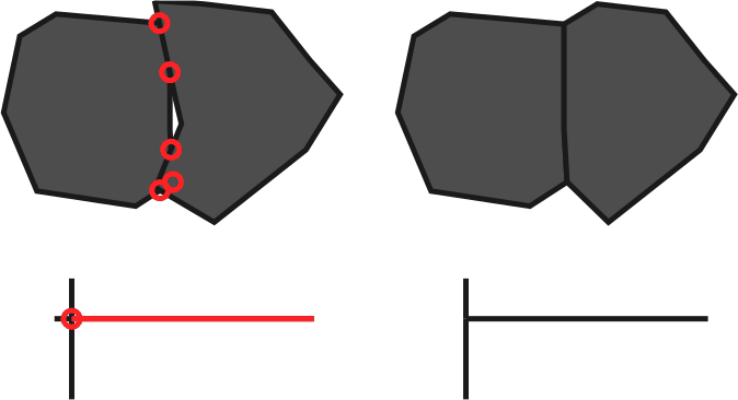 v.clean Toolset for cleaning topology of vector map.
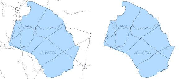 v.clip Extracts features of input map which overlay features of clip map.
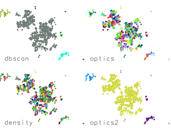 v.cluster Performs cluster identification.
 v.colors Creates/modifies the color table associated with a vector map.
 v.colors.out Exports the color table associated with a vector map.
 v.db.addcolumn Adds one or more columns to the attribute table connected to a given vector map.
 v.db.addtable Creates and connects a new attribute table to a given layer of an existing vector map.
 v.db.connect Prints/sets DB connection for a vector map to attribute table.
 v.db.dropcolumn Drops a column from the attribute table connected to a given vector map.
 v.db.droprow Removes a vector feature from a vector map through attribute selection.
 v.db.droptable Removes existing attribute table of a vector map.
 v.db.join Joins a database table to a vector map table.
 v.db.reconnect.all Reconnects attribute tables for all vector maps from the current mapset to a new database.
 v.db.renamecolumn Renames a column in the attribute table connected to a given vector map.
 v.db.select Prints vector map attributes.
 v.db.univar Calculates univariate statistics on selected table column for a GRASS vector map.
 v.db.update Updates a column in the attribute table connected to a vector map.
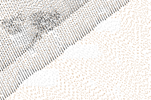 v.decimate Decimates a point cloud
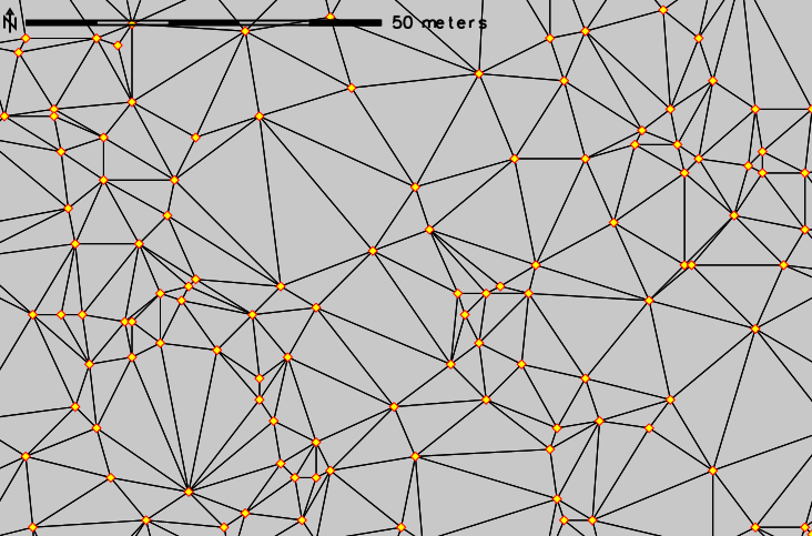 v.delaunay Creates a Delaunay triangulation from an input vector map containing points or centroids.
 v.dissolve Dissolves boundaries between adjacent areas sharing a common category number or attribute.
 v.distance Finds the nearest element in vector map 'to' for elements in vector map 'from'.
 v.drape Converts 2D vector features to 3D by sampling of elevation raster map.
 v.edit Edits a vector map, allows adding, deleting and modifying selected vector features.
 v.external Creates a new pseudo-vector map as a link to an OGR-supported layer or a PostGIS feature table.
 v.external.out Defines vector output format.
 v.extract Selects vector features from an existing vector map and creates a new vector map containing only the selected features.
 v.extrude Extrudes flat vector features to 3D vector features with defined height.
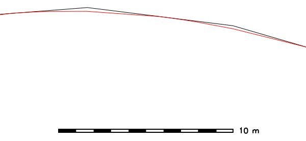 v.generalize Performs vector based generalization.
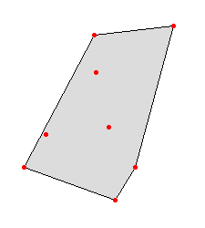 v.hull Produces a 2D/3D convex hull for a given vector map.
 v.import Imports vector data into a GRASS vector map using OGR library and reprojects on the fly.
 v.in.ascii Creates a vector map from an ASCII points file or ASCII vector file.
 v.in.db Creates new vector (points) map from database table containing coordinates.
 v.in.dxf Converts file in DXF format to GRASS vector map.
 v.in.e00 Imports E00 file into a vector map.
 v.in.geonames Imports geonames.org country files into a vector points map.
 v.in.lidar Converts LAS LiDAR point clouds to a GRASS vector map with libLAS.
 v.in.lines Imports ASCII x,y[,z] coordinates as a series of lines.
 v.in.mapgen Imports Mapgen or Matlab-ASCII vector maps into GRASS.
 v.in.ogr Imports vector data into a GRASS vector map using OGR library.
 v.in.pdal Converts LAS LiDAR point clouds to a GRASS vector map with PDAL.
 v.in.region Creates a vector polygon from the current region extent.
 v.in.wfs Imports GetFeature from a WFS server.
 v.info Outputs basic information about a vector map.
 v.kcv Randomly partition points into test/train sets.
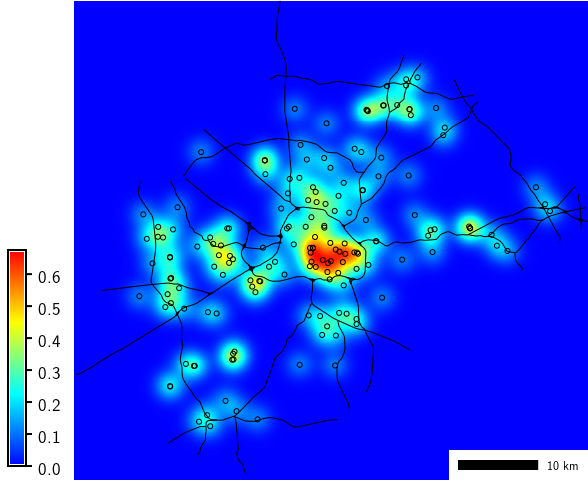 v.kernel Generates a raster density map from vector points map.
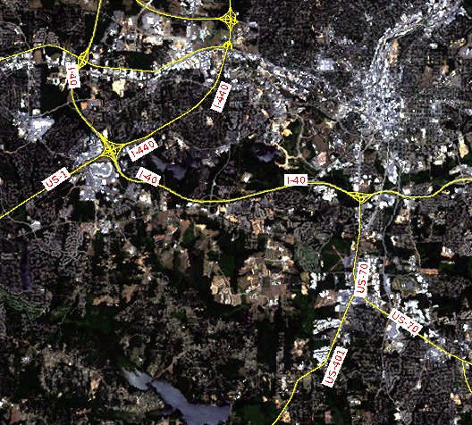 v.label Creates paint labels for a vector map from attached attributes.
 v.label.sa Create optimally placed labels for vector map(s)
 v.lidar.correction Corrects the v.lidar.growing output. It is the last of the three algorithms for LIDAR filtering.
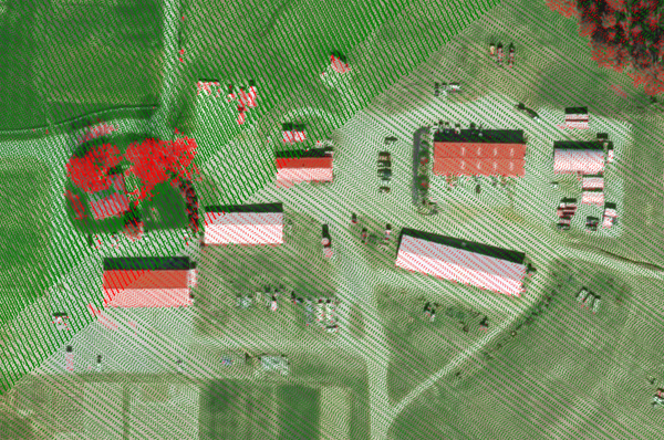 v.lidar.edgedetection Detects the object's edges from a LIDAR data set.
 v.lidar.growing Building contour determination and Region Growing algorithm for determining the building inside
 v.lrs.create Creates a linear reference system.
 v.lrs.label Creates stationing from input lines, and linear reference system.
 v.lrs.segment Creates points/segments from input lines, linear reference system and positions read from stdin or a file.
 v.lrs.where Finds line id and real km+offset for given points in vector map using linear reference system.
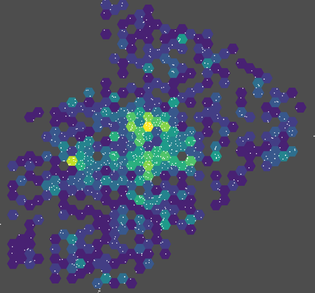 v.mkgrid Creates a vector map of a user-defined grid.
 v.neighbors Neighborhood analysis tool for vector point maps.
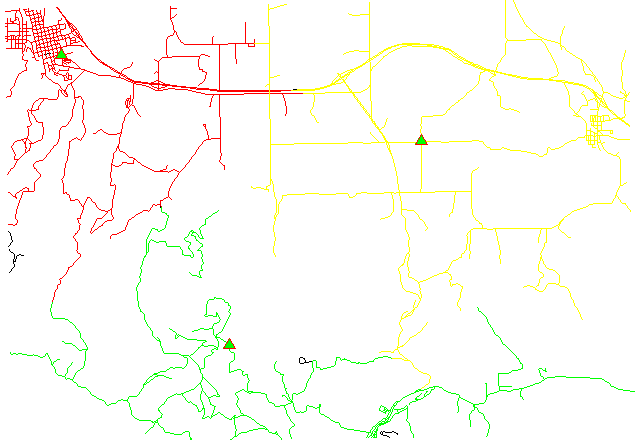 v.net.alloc Allocates subnets for nearest centers.
 v.net.allpairs Computes the shortest path between all pairs of nodes in the network.
 v.net.bridge Computes bridges and articulation points in the network.
 v.net.centrality Computes degree, centrality, betweeness, closeness and eigenvector centrality measures in the network.
 v.net.components Computes strongly and weakly connected components in the network.
 v.net.connectivity Computes vertex connectivity between two sets of nodes in the network.
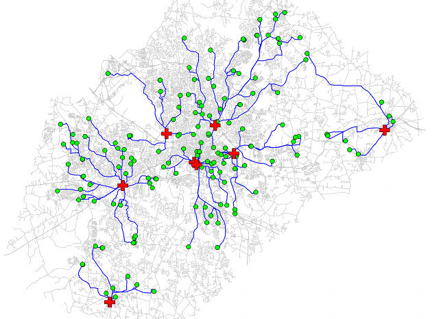 v.net.distance Computes shortest distance via the network between the given sets of features.
 v.net.flow Computes the maximum flow between two sets of nodes in the network.
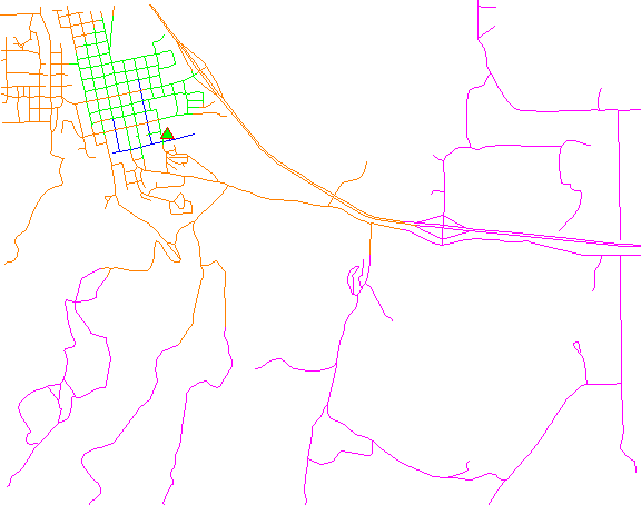 v.net Performs network maintenance.
 v.net.iso Splits subnets for nearest centers by cost isolines.
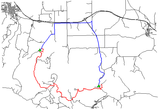 v.net.path Finds shortest path on vector network.
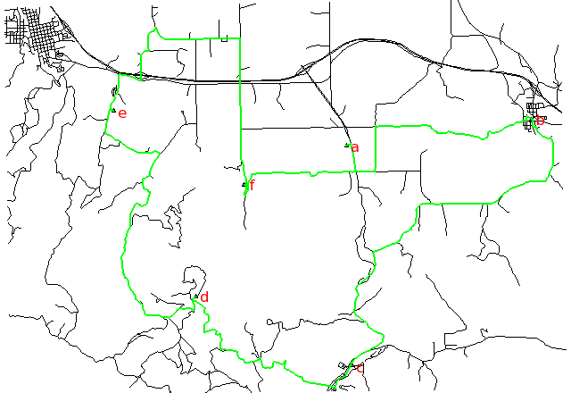 v.net.salesman Creates a cycle connecting given nodes (Traveling salesman problem).
 v.net.spanningtree Computes minimum spanning tree for the network.
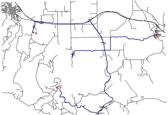 v.net.steiner Creates Steiner tree for the network and given terminals.
 v.net.timetable Finds shortest path using timetables.
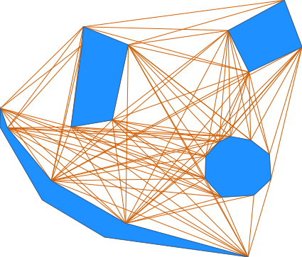 v.net.visibility Performs visibility graph construction.
 v.normal Tests for normality for vector points.
 v.out.ascii Exports a vector map to a GRASS ASCII vector representation.
 v.out.dxf Exports vector map to DXF file format.
 v.out.lidar Exports vector points as LAS point cloud
 v.out.ogr Exports a vector map layer to any of the supported OGR vector formats.
 v.out.postgis Exports a vector map layer to PostGIS feature table.
 v.out.pov Converts GRASS x,y,z points to POV-Ray x,z,y format.
 v.out.svg Exports a vector map to SVG file.
 v.out.vtk Converts a vector map to VTK ASCII output.
 v.outlier Removes outliers from vector point data.
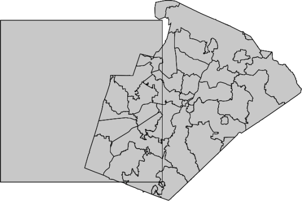 v.overlay Overlays two vector maps offering clip, intersection, difference, symmetrical difference, union operators.
 v.pack Exports a vector map as GRASS GIS specific archive file
 v.parallel Creates parallel line to input vector lines.
 v.patch Creates a new vector map by combining other vector maps.
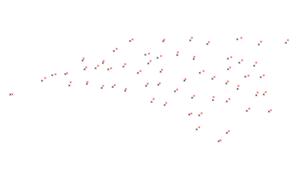 v.perturb Random location perturbations of vector points.
 v.profile Vector map profiling tool
 v.proj Re-projects a vector map from one location to the current location.
 v.qcount Indices for quadrat counts of vector point lists.
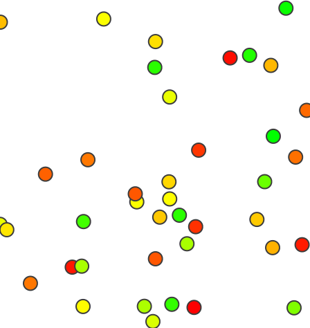 v.random Generates random 2D/3D vector points.
 v.rast.stats Calculates univariate statistics from a raster map based on a vector map and uploads statistics to new attribute columns.
 v.reclass Changes vector category values for an existing vector map according to results of SQL queries or a value in attribute table column.
 v.rectify Rectifies a vector by computing a coordinate transformation for each object in the vector based on the control points.
 v.report Reports geometry statistics for vector maps.
 v.sample Samples a raster map at vector point locations.
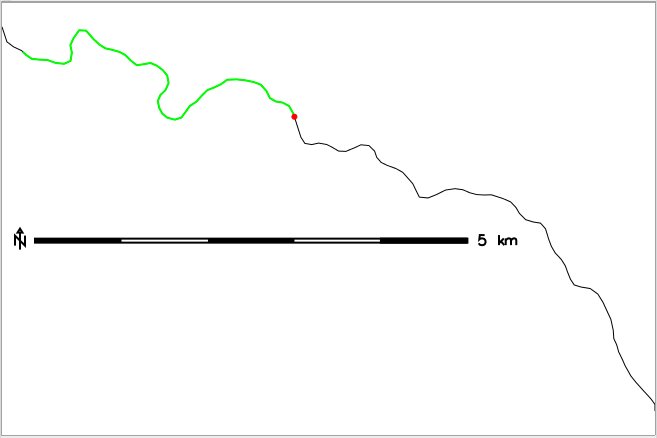 v.segment Creates points/segments from input vector lines and positions.
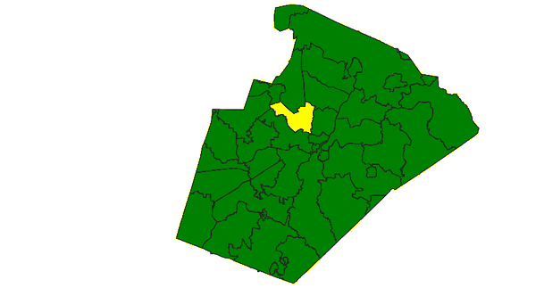 v.select Selects features from vector map (A) by features from other vector map (B).
 v.split Splits vector lines to shorter segments.
 v.support Updates vector map metadata.
 v.surf.bspline Performs bicubic or bilinear spline interpolation with Tykhonov regularization.
 v.surf.idw Provides surface interpolation from vector point data by Inverse Distance Squared Weighting.
 v.surf.rst Performs surface interpolation from vector points map by splines.
 v.timestamp Modifies a timestamp for a vector map.
 v.to.3d Performs transformation of 2D vector features to 3D.
 v.to.db Populates attribute values from vector features.
 v.to.lines Converts vector polygons or points to lines.
 v.to.points Creates points along input lines in new vector map with 2 layers.
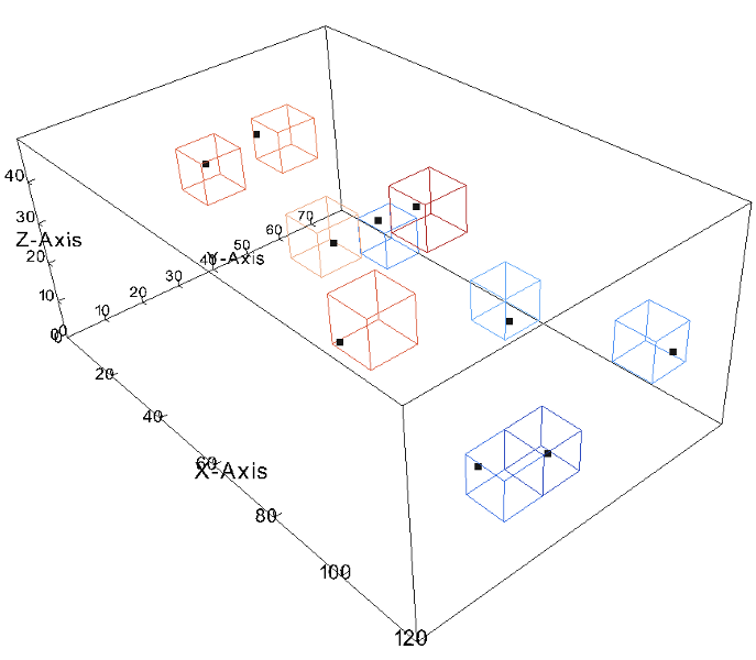 v.to.rast Converts (rasterize) a vector map into a raster map.
 v.to.rast3 Converts a vector map (only points) into a 3D raster map.
 v.transform Performs an affine transformation (shift, scale and rotate) on vector map.
 v.type Changes type of vector features.
 v.univar Calculates univariate statistics of vector map features.
 v.unpack Imports a GRASS GIS specific vector archive file (packed with v.pack) as a vector map
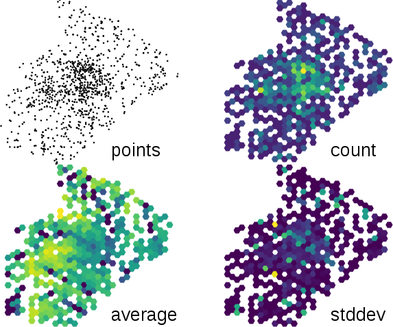 v.vect.stats Count points in areas, calculate statistics from point attributes.
 v.vol.rst Interpolates point data to a 3D raster map using regularized spline with tension (RST) algorithm.
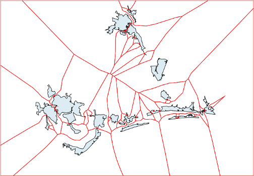 v.voronoi Creates a Voronoi diagram constrained to the extents of the current region from an input vector map containing points or centroids.
 v.what Queries a vector map at given locations.
 v.what.rast Uploads raster values at positions of vector points to the table.
 v.what.rast3 Uploads 3D raster values at positions of vector points to the table.
 v.what.strds Uploads space time raster dataset values at positions of vector points to the table.
 v.what.vect Uploads vector values at positions of vector points to the table.
Main index | Topics index | Keywords index | Graphical index | Full index
© 2003-2023 GRASS Development Team, GRASS GIS 8.3.dev Reference Manual