NAME
r.centroids - Creates vector map of centroids from raster of "clumps".KEYWORDS
raster, centroid, clumps, vector, centerpointSYNOPSIS
r.centroids
r.centroids --helpr.centroids input=name output=name [--overwrite] [--help] [--verbose] [--quiet] [--ui]
Flags:
- --overwrite
- Allow output files to overwrite existing files
- --help
- Print usage summary
- --verbose
- Verbose module output
- --quiet
- Quiet module output
- --ui
- Force launching GUI dialog
Parameters:
- input=name [required]
- Raster map of clumps, clusters of same-valued pixels
- output=name [required]
- Name for output vector map
Table of contents
DESCRIPTION
r.centroids is a wrapper function for r.volume that computes the center point of raster clumps of data (neighboring, same-valued pixels). The centroids will always fall within the clump so they may not be the true, mathematical centroid. The centroids will always fall at the center of a pixel.
r.centroids requires an input raster containing clumps of data such as the output of r.clump.
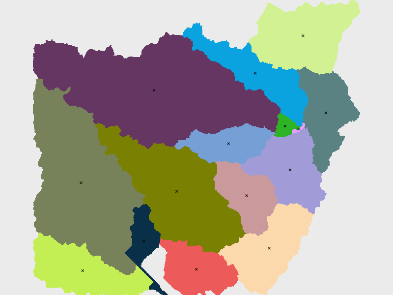
EXAMPLES
Find the centroids of the basins map (North Carolina sample dataset). First, set computational area.g.region raster=basin_50K
r.centroids input=basin_50K output=centroids50K
SEE ALSO
r.volume r.clumpAUTHOR
Caitlin Haedrich, Center for Geospatial Analytics, North Carolina State University, January, 2021.SOURCE CODE
Available at: r.centroids source code (history)
Latest change: Monday Jan 30 19:52:26 2023 in commit: cac8d9d848299297977d1315b7e90cc3f7698730
Main index | Raster index | Topics index | Keywords index | Graphical index | Full index
© 2003-2023 GRASS Development Team, GRASS GIS 8.3.dev Reference Manual