Objective of this study is to analyze spatially solar energy potential in Karnataka State,
India.
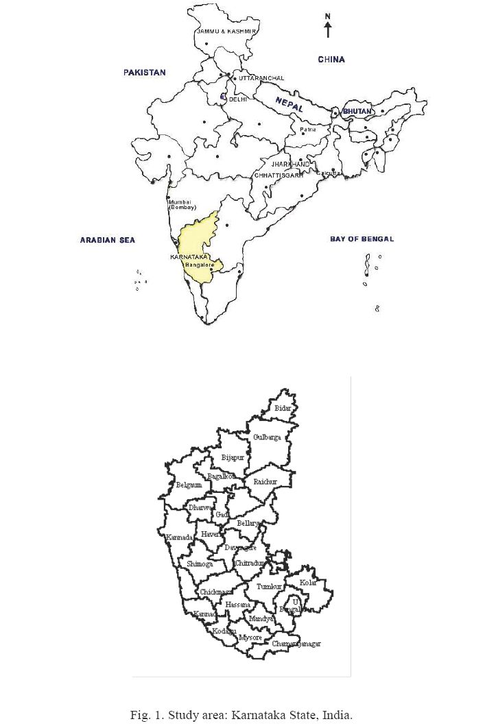
4. Study area
The study was carried out for Karnataka state, India based on the data compiled for
various locations. The State of Karnataka is confined roughly within 11o31 North and
18o45 North latitudes and 74o12 East and 78 o 40 East longitude and lies in the western
central part of peninsular India (Fig. 1). It is situated on a tableland where the Western and
Eastern Ghat ranges converge into the Nilgiri hill complex. Karnatakas total land area is
1,91,791 sq. Km. It accounts for 5.35 percent of the total area of the country (32.88 lakh
sq. Km) and ranks eighth among major States of the country in terms of size. For
administrative purpose the state is divided into 27 districts, which are sub divided into 175
taluks.