Maps
Kokkarebellur is located 77°5 25 East and 12° 30 31 North, in Maddur taluk of Mandya district, Karnataka.
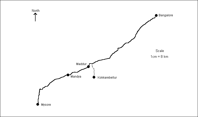
Map Showing the Location of Kokkarebellur of the Bangalore - Mysore State Highway
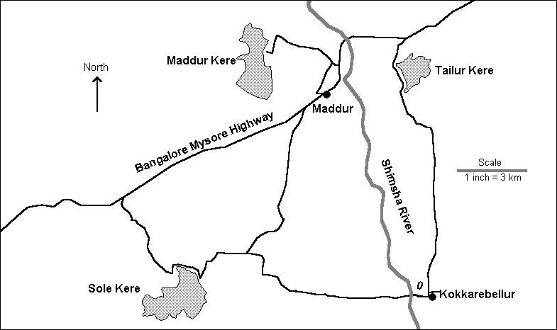
Location Map of the Proposed Eco-complex
Links for Information on Kokkarebellur:
http://www.geocities.com/nandn_dirtt/kokkarebellur/kokkarebellur.htm
http://www.ee.duke.edu/~achandra/projects/pelican.html
http://www.ee.duke.edu/~achandra/projects/pelican.html
Last Updated 31st July 2004 - Centre for Ecological Sciences, Indian Institute of Science, Bangalore - 560 012, India